Subject: San Francisco, California
Period: 1908 (published)
Publication:
Color: Printed Color
Size:
6 x 9 inches
15.2 x 22.9 cm
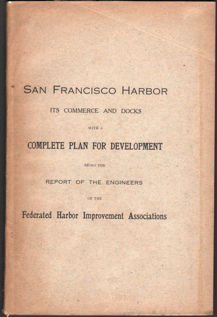
This 60 page report was written two years after the great earthquake of 1906, and proposed a bond issuance to improve and expand the city's port facilities. It was ultimately approved and implemented through the San Francisco Harbor Improvement Act of 1909. Included within the report are the following three folding maps:
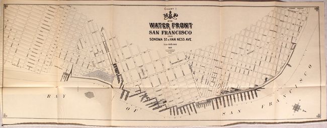
Map of the Water Front of San Francisco from Sonoma St. to Van Ness Ave. (28.5 x 10"). Depicts the existing wharves and slips on the city's water front.
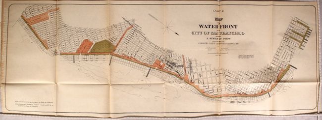
Map of the Water Front of the City of San Francisco Showing a System of Piers... (31.2 x 10.8"). Shows the complete system of wharves, piers, basins, and slips as proposed by the Harbor Improvement Association.
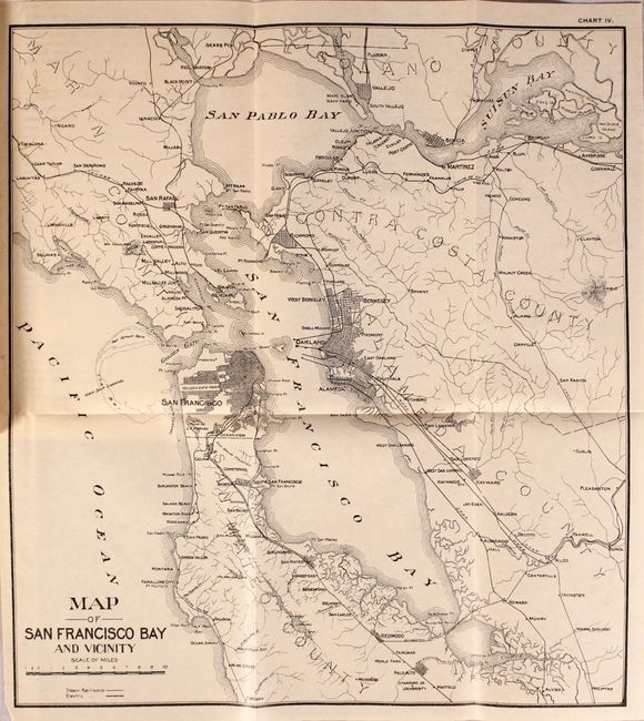
Map of San Francisco Bay and Vicinity (11.8 x 13"). General map of the San Francisco Bay region.
Written by Luther Wagoner and Col. W.H. Heuer and published by Britton & Rey in San Francisco. Octavo, printed paper wrappers.
References:
Condition: A
Maps and text are clean, bright, and near fine. Paper wrappers are toned along the edges.