Subject: Atlases
Period: 1943 (published)
Publication:
Color: Printed Color
Size:
22.3 x 10.5 inches
56.6 x 26.7 cm
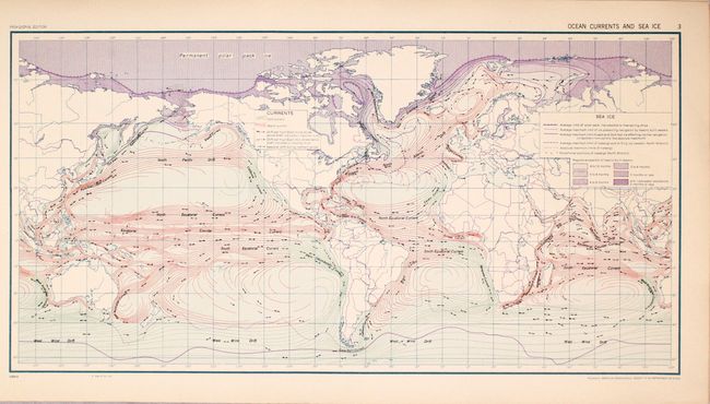
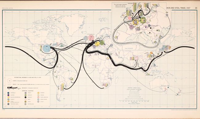
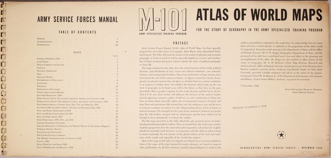
This Army Service Forces Manual (M-101) was specifically prepared for use in the study of geography in the Army Specialized Training Program. After 13 pages of informational text, it contains 30 color plates, including maps highlighting land forms, climate, distribution of population, predominant economies, various resources, modes of transportation, and more. Published in November 1943 at the headquarters of the Army Service Forces. Compiled and drafted by the Office of Geographer, Department of State. Printed by Hoen & Co. Spiral bound with illustrated paper covers.
References:
Condition: B+
Maps are in very good condition with light toning along the sheet edges. There are some tiny chips along the edges of the text pages. Covers are lightly foxed and soiled, with the back cover starting to detach. The bottom rung of the spiral spine is missing. Library stamp of previous owner <b>Herman R. Friis</b> is on the front cover and title page.