Subject: Australia
Period: 1833 (published)
Publication:
Color: Black & White
Size:
24.2 x 19.2 inches
61.5 x 48.8 cm
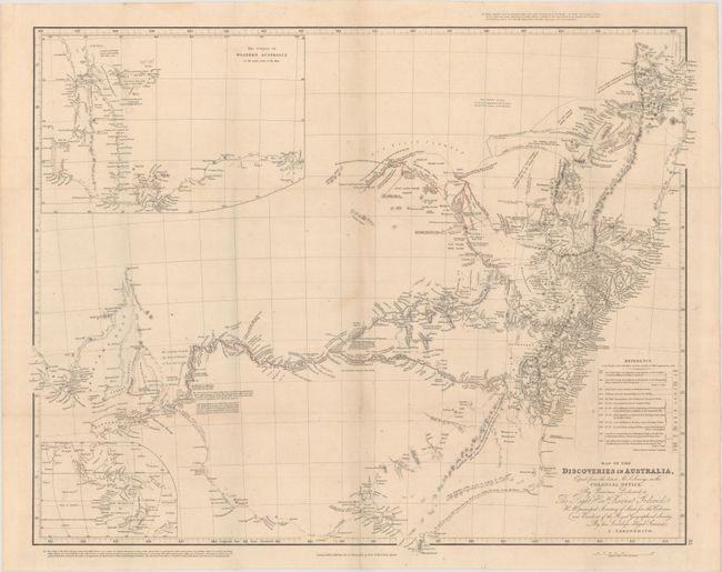
A highly detailed map of the southeastern portion of Australia from Spencer Gulf to Brisbane that shows the two expeditions by Capt. Sturt outlined in red with detailed notes along the route. Two insets are included: The Colony of Western Australia shows the area from Cape Le Grand to Perth, and the second is untitled and shows a broad area from New Zealand northwest to India. A reference table lists the 12 expeditions marked on the map, with names, miles and dates.
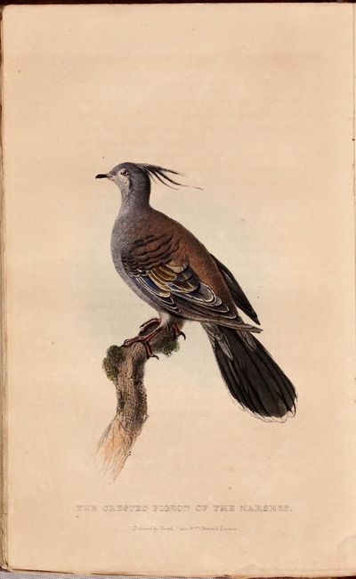
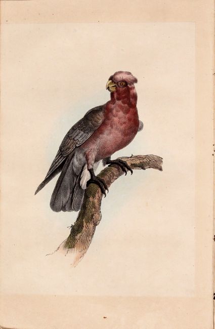
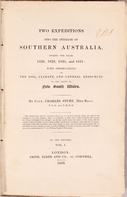
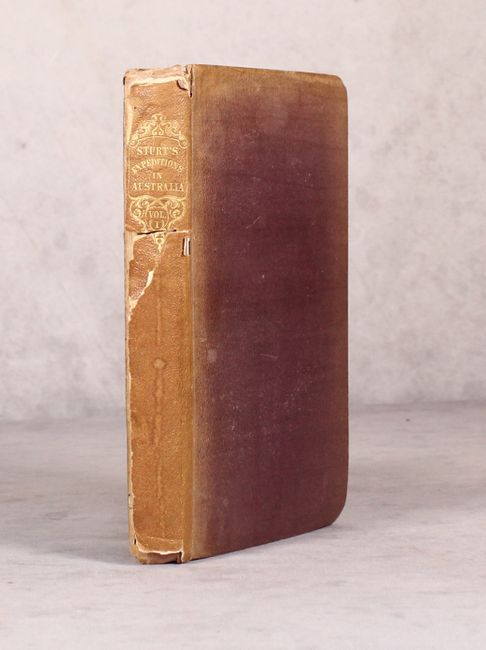
The map is accompanied by the 219 page volume one (of two) that describes Sturt's expedition and features 5 additional illustrations including the frontispiece "Burial Place Near the Budda" and two colored plates of newly discovered birds. Hardbound in brown cloth with gilt title on the spine.
References:
Condition: B+
The map is very good with a hint of toning and minor offsetting. Text is clean and bright and the binding is somewhat loose. Covers are worn with bumped edges and the spine backstrip is sunned and mostly detached.