Catalog Archive
Auction 173, Lot 419

NO RESERVE

"Africa Including the Mediterranean (Reduced from the Four Sheet Map)", Wilkinson, Robert

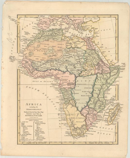
Subject: Africa, Mediterranean

Period: 1800 (dated)

Publication: General Atlas

Color: Hand Color

Size:
10.3 x 11.1 inches
26.2 x 28.2 cm
Download High Resolution Image
(or just click on image to launch the Zoom viewer)

This handsome atlas map of the continent extends to include the entirety of the Mediterranean. Deserts, mountains, lakes, and rivers are depicted, and there are plenty of names of places and tribes. The coastline is relatively accurate with the exception of the southern tip, which is too narrow. The Blue and White Nile are identified as the sources of the Nile, appearing north of the Mountains of the Moon, with the source lake of the White Nile much smaller and farther north than Lake Victoria. A sizable portion of Central Africa is left largely blank. Drawn by E. Baker and engraved by E. Bourne.

References: Norwich #117; Shirley (BL Atlases) T.WILK-1d #44.

Condition: A

Original color with a hint of toning.

Estimate: $100 - $130

Sold for: $55

Closed on 6/5/2019

Archived