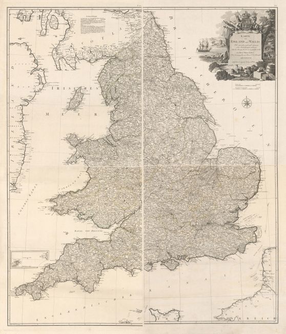
Subject: England & Wales
Period: 1787 (dated)
Publication:
Color: Hand Color
Size:
21.1 x 24.8 inches
53.6 x 63 cm
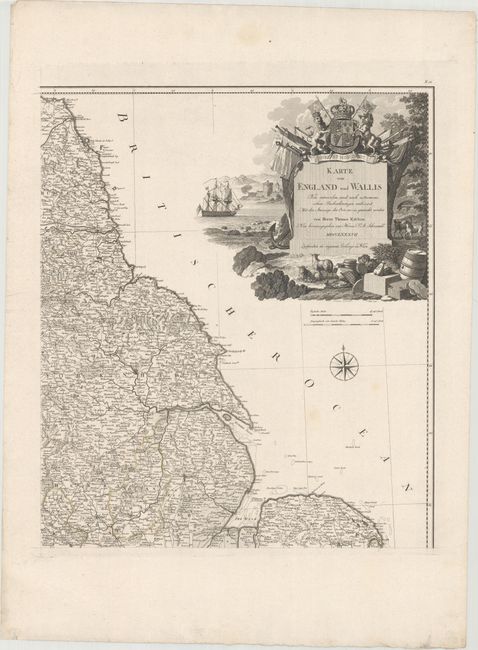
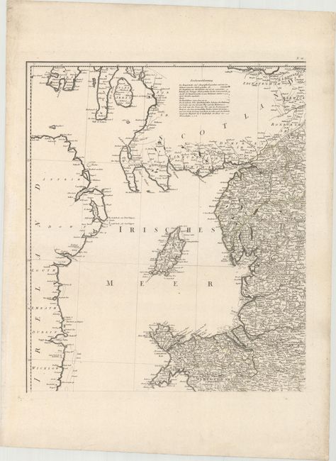
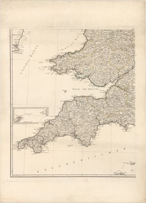
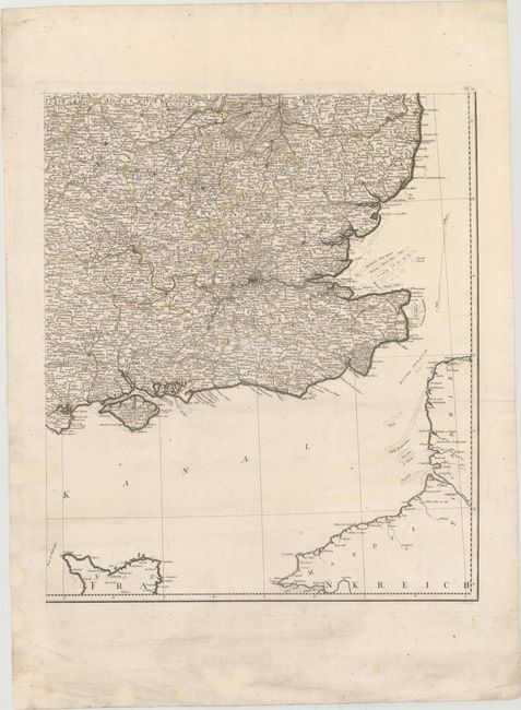
This large map consists of four sheets, unjoined, depicting England and Wales in great detail, and is a revised German version of Kitchin's map from 1777. The large decorative, title cartouche bears the form of a monument surrounded by a vignette by F. Muller after C. Schutz. The monument is topped by Britain's Royal Coat of Arms, and surrounded by symbols of British trade, commerce and military strength. The map shows towns, roads, political boundaries and topography, and includes a legend to the symbols depicted on the map. The map also features an inset map of the Isles of Scilly, a compass rose and distance scales in English and German miles.
References: Phillips (Atlases) #694-20
Condition: A
Dark impressions on mostly clean sheets with original outline color and wide margins. There are some occasional faint spots, otherwise fine. Please note that the first image is a composite image - the map is on four separate sheets.