Subject: Montana, Oil
Period: 1952-56 (dated)
Publication:
Color: Printed Color
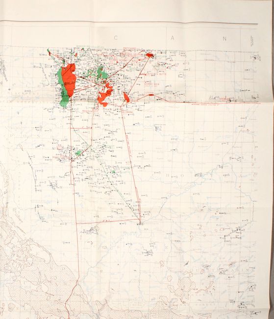
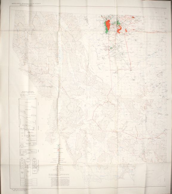
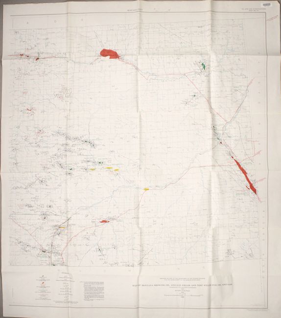
A. [On 2 Sheets] Map of Montana Showing Oil and Gas Fields and Test Wells for Oil and Gas, dated 1952 (38.6 x 43.1"). A mammoth map of Montana printed on two sheets that would measure approximately 77 x 43" if joined. It presents a wealth of geological information including oil and gas fields, pipelines, wells, dry holes, and rock types. The underlying base map provides additional detail including drainage, national forests, Indian reservations, and much more. Compiled by J.D. Vine and C. E. Erdmann. A remarkable map with no past dealer listings or auction records.
B. [Eastern Sheet] Map of Montana Showing Oil and Gas Fields and Test Wells for Oil and Gas, dated 1956 (37.9 x 43.3"). This is an updated version of the eastern sheet listed above with revisions by H.R. Smith in 1954 and publication in 1956. Condition: Stamp of the "Atlantic Richfield Company Geoscience Library” is visible in the margin.
References:
Condition: A
Remarkably clean and bright. Issued folding.