Subject: Chicago, South Bend, Central United States
Period: 1905 (published)
Publication:
Color: Black & White
Size:
4.9 x 7.9 inches
12.4 x 20.1 cm
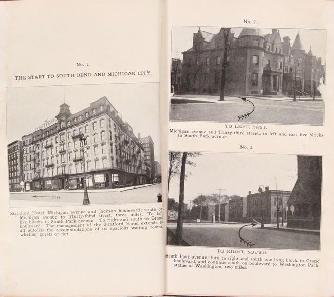
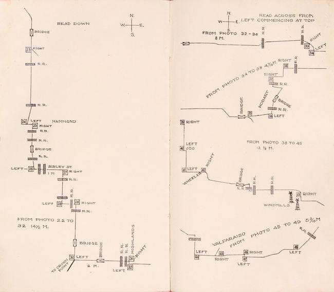
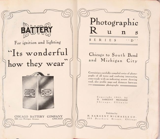
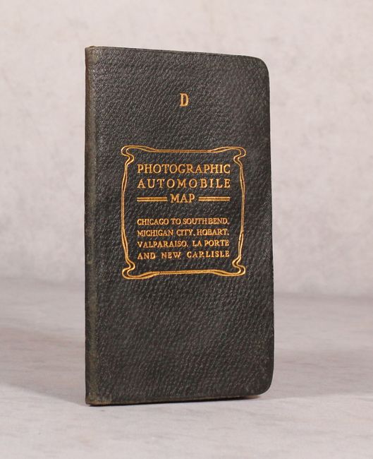
This fascinating guide book provides directions and photo illustrations for automobile travel from Chicago, Illinois to South Bend and Michigan City, Indiana. Contents include 6 single-page road maps, 77 photo illustrations with arrows indicating correct turns (2 per page) , numerous advertisements, and related text. Published by H. Sargent Michaels Co. in Chicago and bound in faux leather with gilt title on the front cover.
In Walter Ristow's A Half-Century of Oil-Company Road Maps (Quarterly Journal of the American Congress on Surveying and Mapping, Dec. 1964), he notes that "there was an active interest in photo auto guides around 1905 to 1910. Most common in the middle west, they seem to have been first introduced by H. Sargent Michaels who copyrighted several Photographic Automobile Maps in 1905." Ironically, modern driving applications are duplicating the approach that Michaels pioneered over 100 years ago.
OCLC locates only two copies - one at the Newberry Library and another at the Indiana Historical Society. Last auction result was the Streeter sale in 1969.
References:
Condition: B+
Contents have some light staining and rippling along the right edge from previous moisture, but is mostly confined to the side margin. Covers are also very good with only minor wear.