Catalog Archive
Auction 172, Lot 91

"Plan du Port Royal dans l'Acadie Appelle Aujourd' par les Anglois Annapolis Royal", Bellin, Jacques Nicolas

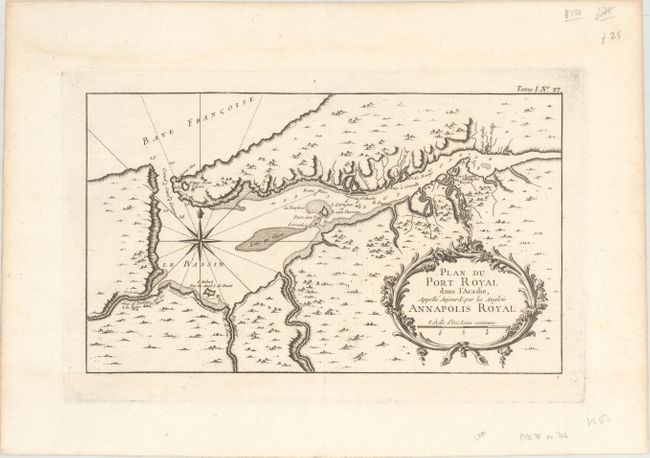
Subject: Nova Scotia, Canada

Period: 1764 (published)

Publication: Le Petit Atlas Maritime...

Color: Black & White

Size:
13.3 x 7.8 inches
33.8 x 19.8 cm
Download High Resolution Image
(or just click on image to launch the Zoom viewer)

This detailed map shows the important colonial settlement in Nova Scotia. It clearly depicts the harbor entrance with soundings, anchorages and navigational hazards. A large compass rose orients the map, and an ornate cartouche at bottom right contains the title.

References: Kershaw #791; cf. Tooley (MCC-96) #704.

Condition: A

A crisp impression on a bright watermarked sheet. There are faint damp stains along the top edge, well away from map image.

Estimate: $120 - $150

Sold for: $90

Closed on 4/17/2019

Archived