Subject: Atlases
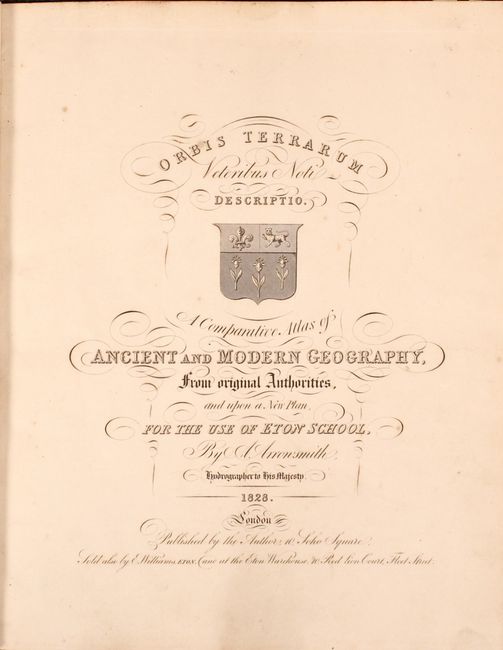
Period: 1828 (published)
Publication:
Color: Hand Color
Size:
11.3 x 13.8 inches
28.7 x 35.1 cm
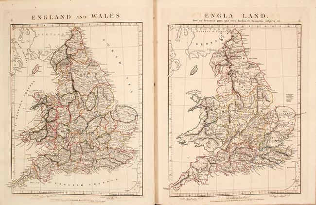
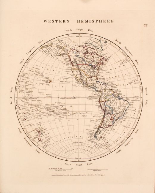
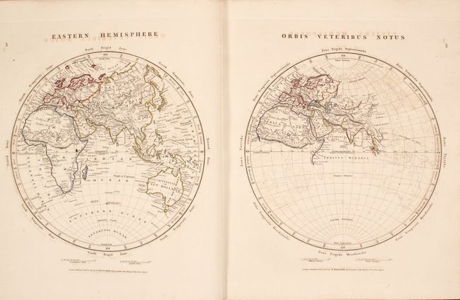
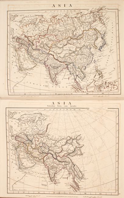
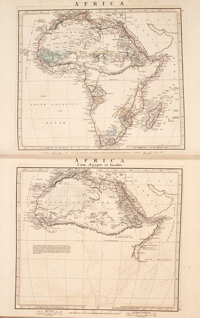
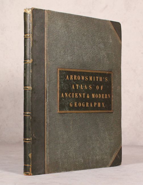
This handsome complete atlas is comprised of 53 copper-engraved maps presented to show a modern map and then a map showing the same region as it was known in ancient times. These matching pairs of maps include the Eastern Hemisphere, Europe, Asia, Africa, 13 regional maps of Europe, 7 regional maps of Asia, and maps of northern Africa and Egypt. The Western Hemisphere is the lone map to show the Americas, and is not accompanied by a matching ancient map. The maps are filled with interesting detail that distinguish Arrowsmith's cartography, such as factories, mines, roads and caravan routes. It was published for use of Eton School by E.P. Williams. Small folio. Hardbound in original dark green cloth covered boards with leather spine and tips, and gilt titling on leather label on front cover.
References:
Condition: B+
The maps have contemporary outline color with minor toning, light to moderate offsetting, and occasional soiling. The front hinge is starting, and the covers are worn with some sunning, small abrasions, and bumped corners. There is a small chip at the top of the spine.