Subject: New Zealand
Period: 1841 (published)
Publication:
Color: Black & White
Size:
13.3 x 16 inches
33.8 x 40.6 cm
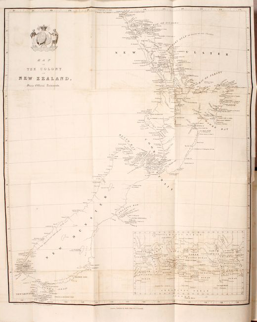
This uncommon, early map of New Zealand is one of the first maps to identify Wellington. The settlement was founded by the New Zealand Company shortly after the first ship's arrival in 1839. Both of the large islands, here called New Ulster and New Munster, are depicted with excellent detail along the coastlines including bays, harbors, capes, and hundreds of place names. A note on New Munster describes the southwestern part of the island as "High craggy mountainous land topped with snow" while a note on New Ulster states "No natives along this coast as far as Ahuriri." Includes an inset of the world on Mercator's projection.
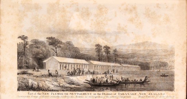
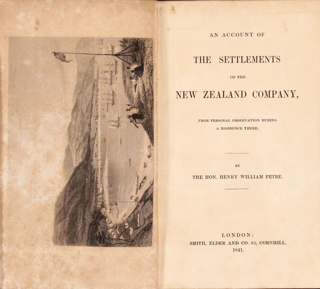
The map is still bound into the 87 page An Account of the Settlements of the New Zealand Company, which is a "personal account" of Henry William Petre's residence in the country (Petre happened to be the son of one of the company's directors). In addition to the folding map are plates "Part of Lambton Harbour, Fort Nicholson" and "Part of the New Plymouth Settlement in the District of Taranake." Octavo, hardbound in full leather with gilt tooling and raised bands on spine.
References:
Condition: B+
The map has light offsetting and a short binding tear at right that has been closed on verso with archival tape. Plates are moderately foxed and text has occasional foxing. There is a former owner's bookplate on the front pastedown. Covers are moderately worn and scuffed.