Subject: China
Period: 1665 (published)
Publication:
Color: Black & White
Size:
13.4 x 8.8 inches
34 x 22.4 cm
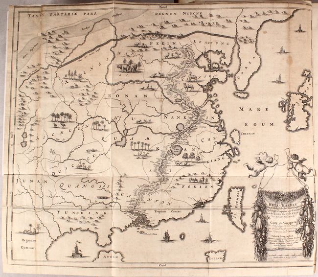
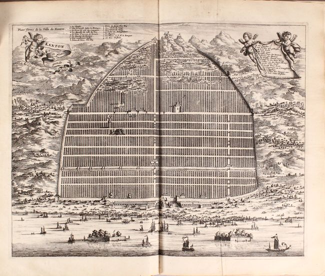
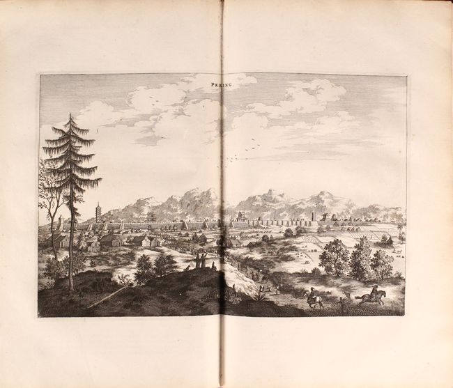
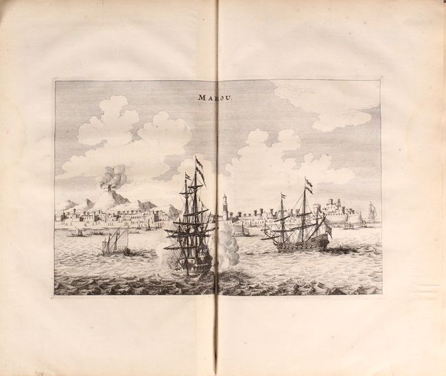
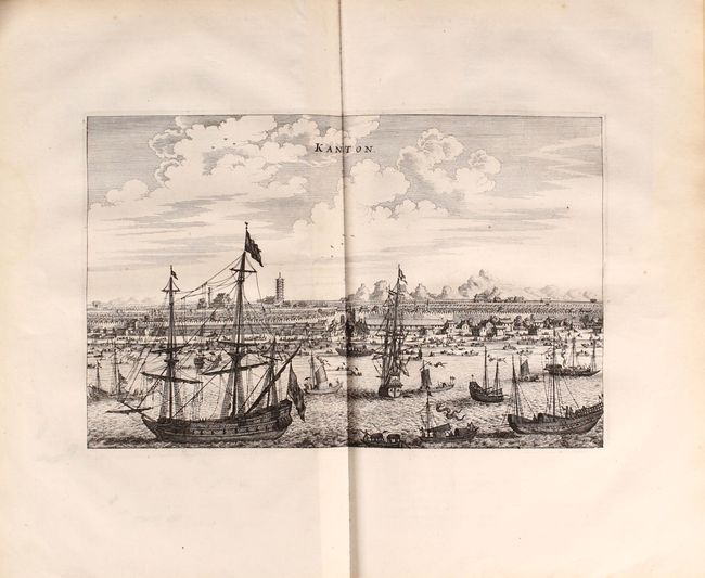
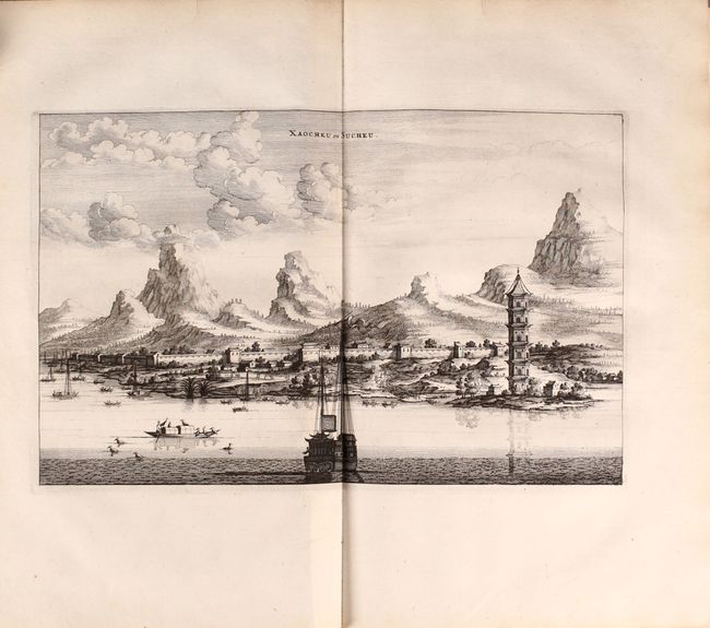
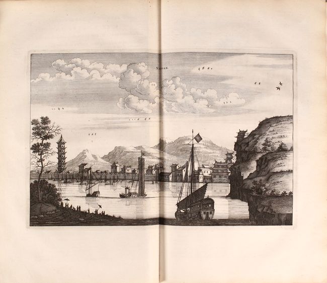
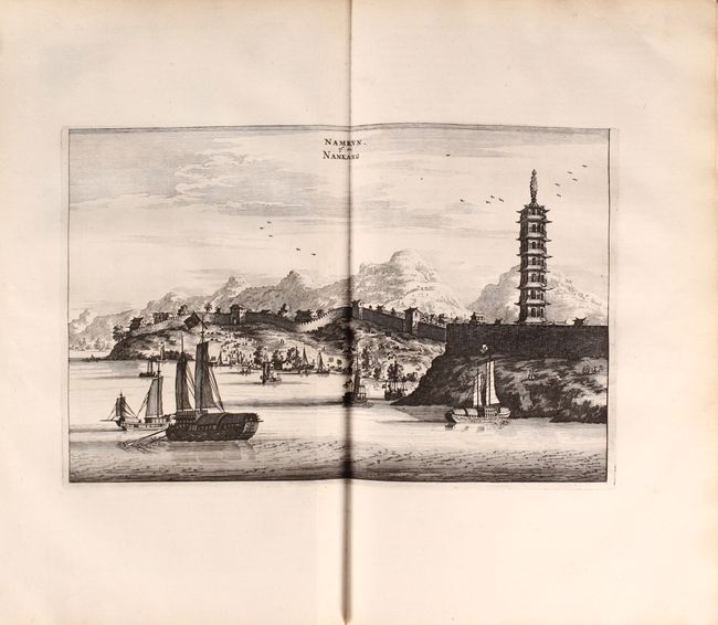
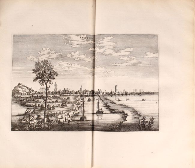
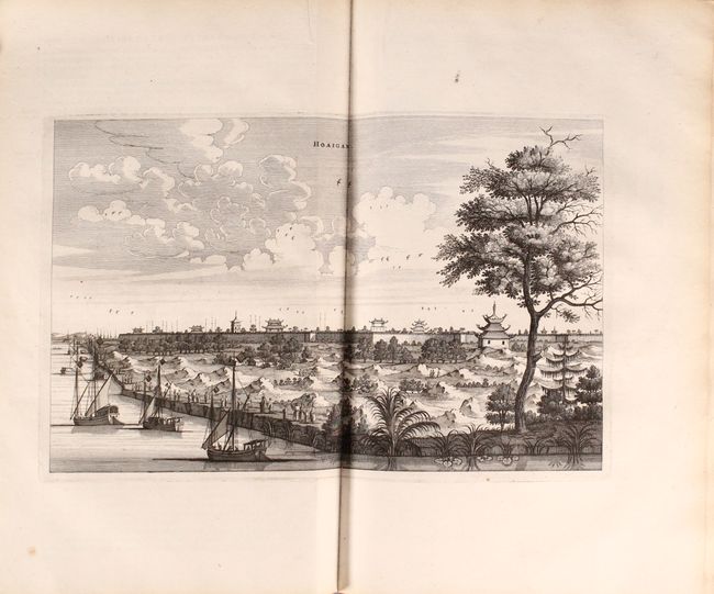
This is a French edition of the first Dutch description of the Chinese Empire and one of the few non-Jesuit sources on China of this period. Nieuhoff was the official chronicler and draughtsman for the first embassy to China by the Dutch East India Company (VOC), then at the height of its power. His record of the trip became the most important source of information about China for Europe in the 17th century. The book includes a large folding map of China, a double-page plan of Canton, and over 100 engravings featuring views and costumed figures.
The lovely map, Reys-Kaerte vande Ambassade der Nederlantse Oost Indies Compagnie, door China aen den Grooten Tartersen Cham / Carte du Voyage des Ambassadeurs de la Compagnie Orientale des Provinces Unies vers l'Empereur de la Chine, is nearly void of details, as the embassy was not allowed to venture into the interior. They traveled from Canton to Peking by way of rivers and canals, and this route is filled with place names, starkly contrasting to the rest of the map. In place of details, Nieuhoff filled the map with little vignettes of the indigenous animals (although it is doubtful that elephants roamed the Gobi Desert as pictured here). The map extends to include Korea, Japan and Formosa, none of which are detailed. The map is further embellished with a VOC ship and a variety of Asian sailing ships, and a title cartouche enclosed in a garland of exotic fruits and held aloft by cherubs.
The bird's-eye view of Canton, Kanton in Platte Grondt, depicts the city and the surrounding countryside with ships and junks in the harbor. Putti hold the title cartouche and key that flank the plan. The key appears in both French and Dutch. Among the sites identified are a mountaintop pagoda, palaces, and a pair of castles in the water.
Small folio, 134 pp. Hardbound in quarter leather with tips over marbled-paper boards, with raised bands, gilt tooling, and black leather title label on spine.
References:
Condition:
Overall the engravings and text are in near fine (A) condition with minor soiling, occasional damp stains along the fore-edges, and a couple of chips and tears that have been archivally repaired. The large folding map of China is in good (B) condition with moderate toning and soiling, and has been professionally backed in linen to repair a number of separations and small holes along the folds, with loss of a small amount of image at far left. The title page has some old manuscript notations. The covers are worn and completely detached. The spine has some small abrasions and chips.