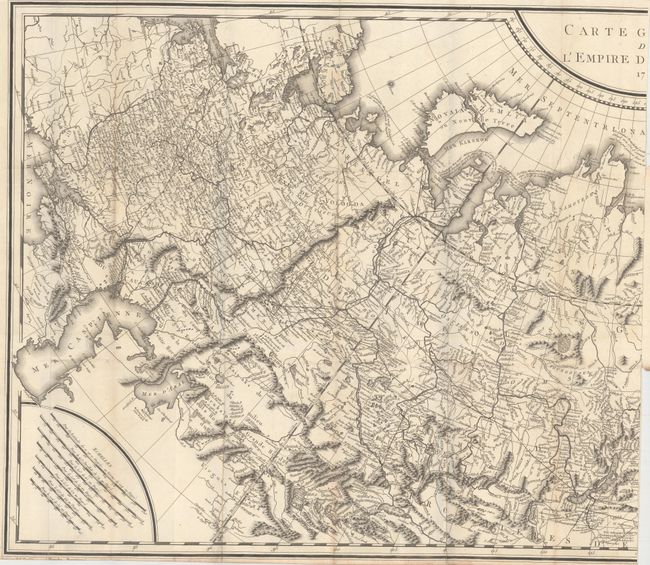
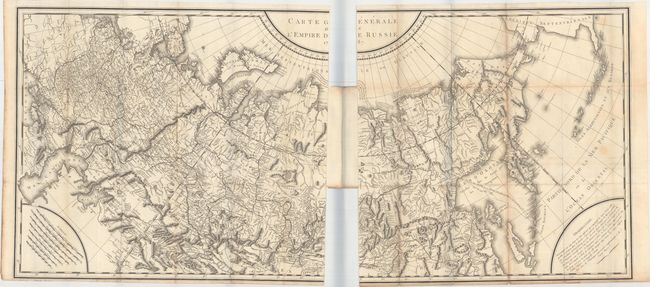
Subject: Russia
Period: 1787 (dated)
Publication:
Color: Black & White
Size:
47.1 x 22 inches
119.6 x 55.9 cm
This large-scale map, printed on two sheets and partially joined, covers the entire Russian Empire from the Black Sea to Kamtschatka. It extends to include a portion of mainland Alaska and the Aleutian Islands based upon Russian sources. Several notations are presented along the Arctic Ocean including one along the northern coastline of Nova Zembla concerning the Dutch expedition led by Willem Barents in 1594-96. The map features very good detail of topography and the river systems in the interior with seven distance scales located in the lower left corner.
References:
Condition: B+
Issued folding and partially joined together at center by a backstrap. There is light toning along some of the folds, a few faint spots, and a narrow (but adequate) bottom margin. There are two short edge tears (0.5" and 0.75") along the right edge of the left sheet.