Catalog Archive
Auction 172, Lot 380
"A General Map of the Roman Empire Shewing the Situation of All It's Provinces & ye Seats of ye Barbarous Nations on Their Frontiers"
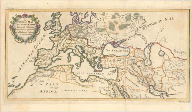
Subject: Europe, Roman Empire
Period: 1744 (circa)
Publication: An Universal History from the Earliest Account of the Time to the Present
Color: Hand Color
Size:
19.7 x 9.8 inches
50 x 24.9 cm
Download High Resolution Image
(or just click on image to launch the Zoom viewer)
(or just click on image to launch the Zoom viewer)