Catalog Archive
Auction 172, Lot 366
"Le Detroit de Magellan se Trouve Entre les 287 et 295 Degrez de Longitude et sa Latitude...", Fer, Nicolas de
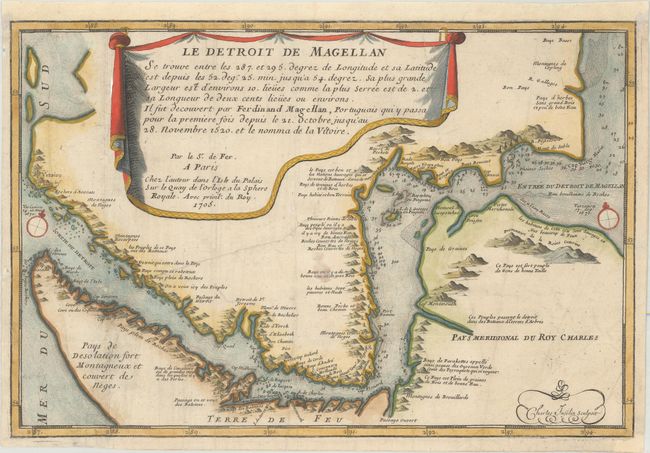
Subject: Strait of Magellan
Period: 1705 (dated)
Publication: L'Atlas Curieux ou le Monde
Color: Hand Color
Size:
13.3 x 8.9 inches
33.8 x 22.6 cm
Download High Resolution Image
(or just click on image to launch the Zoom viewer)
(or just click on image to launch the Zoom viewer)