Subject: Venezuela
Period: 1635 (published)
Publication: Toonneel des Aerdrycks
Color: Hand Color
Size:
18.8 x 14.7 inches
47.8 x 37.3 cm
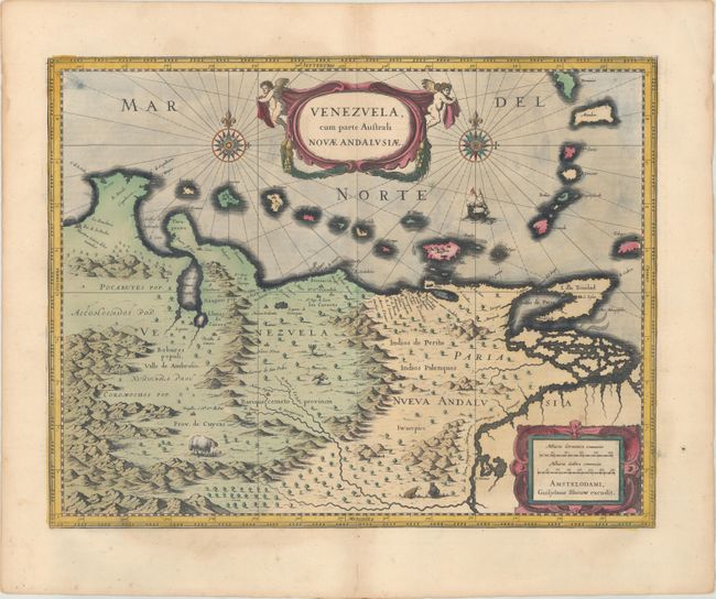
This beautifully engraved map based on the cartography of Hessel Gerritsz covers the northern coast of South America, Venezuela, east to the mouth of the Orinoco, and includes the offshore islands from Aruba through Dominica and Tobago. The fine engraving illustrates the mountains, forests, rivers, and indigenous animals but shows place names primarily along the coastlines owing to the relatively few explorations made into the interior. The map is richly embellished with title and distance scale cartouches, compass roses, and a galleon. Using the plate bought from Jodocus Hondius' widow in 1629, Blaeu changed the imprint and issued this map along with several other American maps from about 1630 to 1672, when fire destroyed the printing house. Dutch text on verso, published between 1640-55.
References: Van der Krogt (Vol. II) #9830:2.2.
Condition: A
A dark impression with old color, a hint of toning along the centerfold, and an archivally repaired centerfold separation in the bottom blank margin. There is light toning and some damp stains along the far edges of the sheet.