Catalog Archive
Auction 172, Lot 308

"Carte des Iles Antilles ou Indes Occidentales, du Golfe du Mexique et d'une Partie des Pays Adjacents", Brue, Adrien Hubert

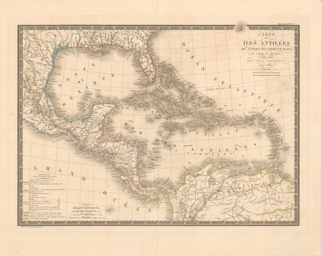
Subject: Gulf of Mexico & Caribbean

Period: 1825 (dated)

Publication: Atlas Universel

Color: Hand Color

Size:
20.1 x 14.7 inches
51.1 x 37.3 cm
Download High Resolution Image
(or just click on image to launch the Zoom viewer)

The beautifully engraved map details all of the Gulf of Mexico, the Bahamas Islands, Cuba, the Antilles and Central America. There is good detail of the cities and river systems in the southern US and Mexico. This is the first edition dated 1825. Legend at lower left identifies via hand coloring the land areas of eleven colonial powers, including France, England, Spain, Denmark, Holland, and Sweden. Four distance scales. A very handsome map with Brue's embossed seal below the title and a decorative keyboard-style border.

References:

Condition: B+

Contemporary outline color with very light offsetting and a few spots of foxing.

Estimate: $200 - $230

Unsold

Closed on 4/17/2019

Archived