Catalog Archive
Auction 172, Lot 229

"Carte des Embouchures du Mississipi sur les Manuscrits du Depot des Cartes et Plans de la Marine", Bellin, Jacques Nicolas

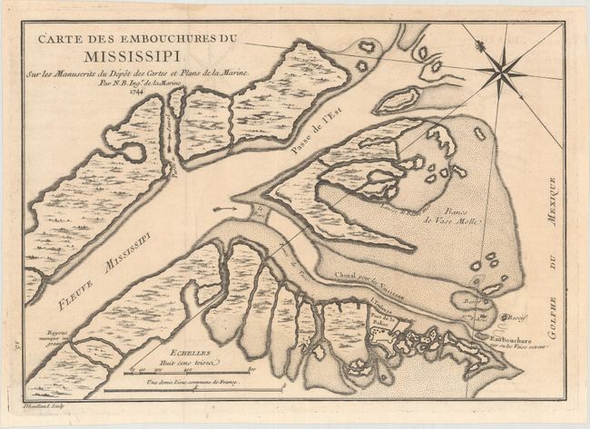
Subject: Colonial Louisiana, Mississippi River

Period: 1744 (dated)

Publication: Histoire et Description de la Nouvelle France

Color: Black & White

Size:
11.1 x 7.8 inches
28.2 x 19.8 cm
Download High Resolution Image
(or just click on image to launch the Zoom viewer)

This chart details the Mississippi River Delta as the river empties into the Gulf of Mexico. The map is oriented by a fleur-de-lys with north to the upper left. Fort Balise is shown on a small island at the mouth of the Southeast Pass. Engraved by Dheulland. Jacques Nicolas Bellin had a distinguished 50-year career as one of France’s leading cartographers. He was the lead hydrographer to the French Navy upon the creation of France's hydrographic office, a member of the Academie de Marine and of the Royal Society of London. His maps of the French possessions in North America are particularly important.

References:

Condition: B+

Issued folding on watermarked paper with faint toning and offsetting.

Estimate: $200 - $230

Sold for: $190

Closed on 4/17/2019

Archived