Subject: Western United States
Period: 1873 (dated)
Publication:
Color: Hand Color
Size:
35 x 34.6 inches
88.9 x 87.9 cm
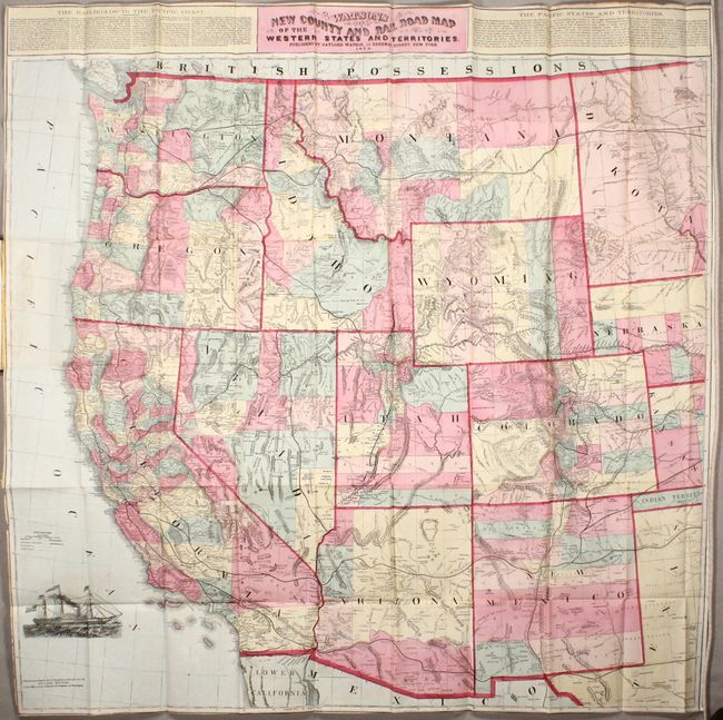
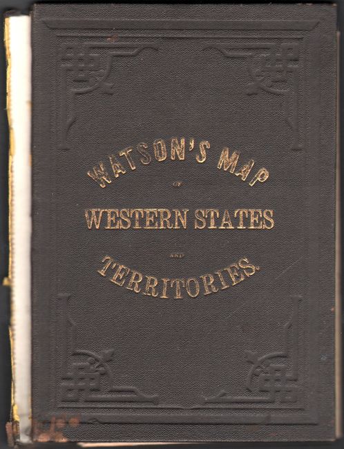
This large-scale map covers the entire western United States in remarkably fine detail from the 98th meridian to the Pacific coast. Counties are presented in full hand color and the extensive railroad network is well depicted. The recently completed Union Pacific Railroad is shown stretching from Nebraska to San Francisco, while the Northern Pacific Railroad (under construction) extends from the Dakotas to Seattle. County development is limited in the Dakotas, and Yellowstone National Park is not yet identified despite the park establishment in 1872. Above the map are descriptions of the railroads and states with particular emphasis on California. Arizona is noted as "cursed with ferocious and predatory Indian tribes, and some of the worst vagabonds and villains to be found anywhere in the world." Folds into brown cloth boards with gilt title on the front cover (4.5 x 6.5"). This is the third edition of this map with a copyright date of 1871.
References:
Condition: B+
Issued folding with minor staining at left where the map was glued to the rear board and a few tiny splits at fold intersections. Trimmed to the neatline at left and bottom as issued with a few tiny chips along the left border. Boards have light wear and the front board has detached.