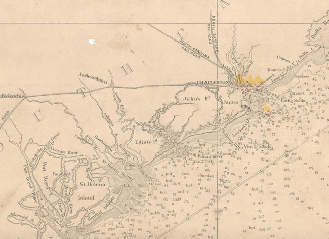
Subject: Southeast United States
Period: 1865 (dated)
Publication:
Color: Black & White
Size:
31 x 46.3 inches
78.7 x 117.6 cm
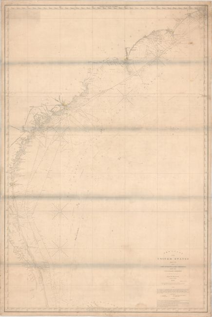
This large-scale blueback chart extends from Cape Hatteras, North Carolina to Cape Canaveral, Florida. There is excellent navigational detail with hundreds of soundings, rocks, shoals, currents, and lighthouses. Created in 1860 with additions to 1865. Backed with stiff blue paper and the original printed paper label on verso.
References:
Condition: B
This working chart is in good condition considering its heavy use, with light toning, moderate soiling, and a few pencil notations. There are a few minor tears and chips along the edges of the sheet, and some creases that appear to have been caused during the gluing of the chart onto the blue paper backing. There are horizontal grayish shadows along the folds that were caused by our scanner and do not appear on the chart itself.