Catalog Archive
Auction 172, Lot 150

"Map of the Southern Provinces of the United States", Phillips, Richard (Sir)

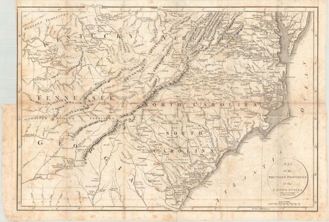
Subject: Southeast United States

Period: 1804 (published)

Publication: Marshall's Life of Washington

Color: Black & White

Size:
19.9 x 13.6 inches
50.5 x 34.5 cm
Download High Resolution Image
(or just click on image to launch the Zoom viewer)

This interesting map covers all of the Carolinas with parts of Virginia, Kentucky, Tennessee, and Georgia. Features great detail of early roads and settlements. Between Tennessee and Georgia is a long strip of land labeled United States Territory. This land originally belonged to South Carolina but was ceded back to the United States in 1787. Numerous Indian villages are shown, especially in the region of present-day Alabama. Engraved by John C. Russell.

References: Phillips (Maps) p. 873; Howes #M317.

Condition: B

Issued folding with moderate foxing and light offsetting. There is a binding trim at top left.

Estimate: $200 - $230

Sold for: $140

Closed on 4/17/2019

Archived