Subject: Eastern United States
Period: 1800-27 (circa)
Publication:
Color:
Size:
9.4 x 7.5 inches
23.9 x 19.1 cm
A nice set of English maps showing the progression of the young United States in the early 19th century:
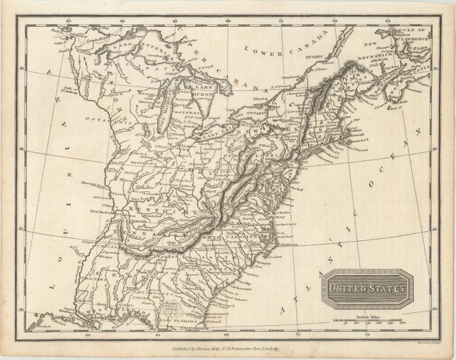
A.United States, by Thomas Kelly, circa 1800, black & white. This map shows sixteen states with a large Western Territory occupying the region of today's Ohio, Indiana, Illinois and Wisconsin. Georgia extends to the Mississippi River.
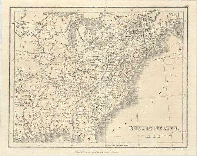
B. United States, by J. Mawman, dated 1819, black & white. This map includes the new states of Ohio, Indiana, Mississippi and Louisiana. The short-lived Alabama Territory (1817-19) is also depicted. Issued folding.
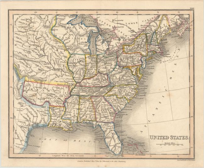
C. United States, by J. Mawman, dated 1827, hand color. The new states of Main and Alabama appear, but Illinois is still depicted as a territory on this map. To the west of the Mississippi River are the large Missouri and Arkansas territories.
Sizes vary slightly.
References:
Condition: A
Nice impressions with a few minor spots.