Catalog Archive
Auction 171, Lot 556

"Le Grand Royaume de Hongrie ou Partie Septentrionale de la Turquie en Europe...", Fer, Nicolas de

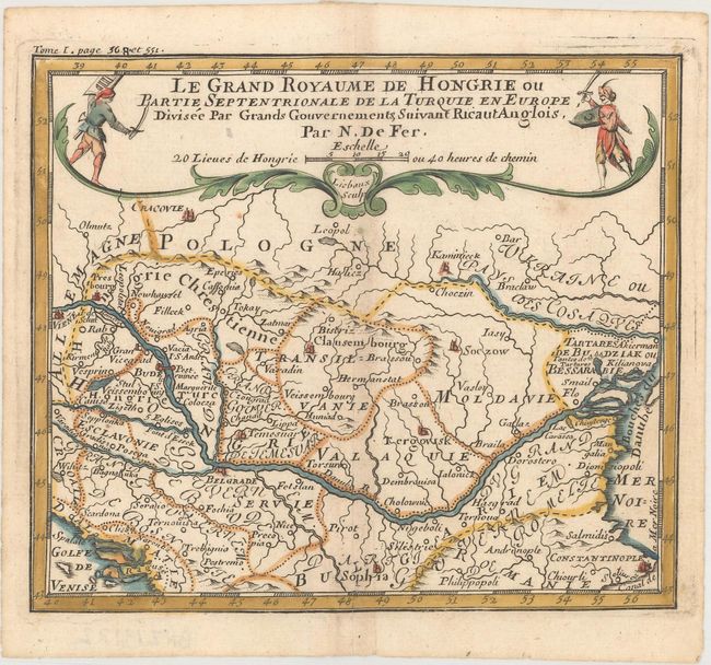
Subject: Southeastern Europe

Period: 1689 (published)

Publication: Methode pour Apprendre Facilement la Geographie

Color: Hand Color

Size:
6.3 x 5.4 inches
16 x 13.7 cm
Download High Resolution Image
(or just click on image to launch the Zoom viewer)

Charming small map covering Hungary, Romania and most of the Balkans. The Danube River is the most prominent feature of the map. Extends from Vienna to the Black Sea and south to include Sofiya and Constantinople. The title cartouche spans the top of the map and includes a Christian and Turkish warrior. Engraved by Jean Baptiste Liebaux.

References:

Condition: A

A nice impression with a hint of toning along the centerfold and a professionally repaired centerfold separation at bottom.

Estimate: $110 - $140

Sold for: $55

Closed on 2/6/2019

Archived