Catalog Archive
Auction 171, Lot 449

"Kaart van Londen enz en van het Naby Gelegen Land Ruim een uur Gaans Rondsom Dezelve Stad...", Tirion, Isaac

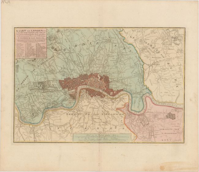
Subject: London, England

Period: 1754 (dated)

Publication:

Color: Hand Color

Size:
16.2 x 11 inches
41.1 x 27.9 cm
Download High Resolution Image
(or just click on image to launch the Zoom viewer)

This attractive plan of London and the surrounding countryside was taken from the famous survey of John Rocque. The extents are described in the title as being within an hour's walk, with Hampstead and Wanstead in the north, and Kent and Putney in the south. A lettered key identifies important locations.

References: Howgego #102.

Condition: A

On a sheet with a large fleur-de-lis coat of arms, a couple of unobtrusive spots in the image, and a stain in the blank margin at bottom right.

Estimate: $350 - $425

Sold for: $200

Closed on 2/6/2019

Archived