Catalog Archive
Auction 171, Lot 308

NO RESERVE

"Mexico and Central America", Philip, George

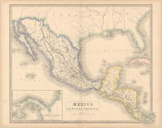
Subject: Southern United States, Mexico & Central America

Period: 1855 (circa)

Publication:

Color: Hand Color

Size:
24.4 x 20.4 inches
62 x 51.8 cm
Download High Resolution Image
(or just click on image to launch the Zoom viewer)

An attractive map extending from the southern United States to Panama. Mexico is delineated by state and numerous place names and topography are well depicted throughout both Mexico and Central America. The border between the United States and Mexico is still on the Gila River, prior to the Gadsden Purchase (1854). An inset of Panama shows the newly created railroad linking the Atlantic and Pacific Oceans (operational in 1855).

References:

Condition: A

Nice impression and color with a few faint spots and edge tears confined to the blank margins.

Estimate: $60 - $80

Sold for: $55

Closed on 2/6/2019

Archived