Catalog Archive
Auction 171, Lot 260

"Map of the Railroads of the State of Massachusetts Accompanying the Report of the Railroad Commissioners",

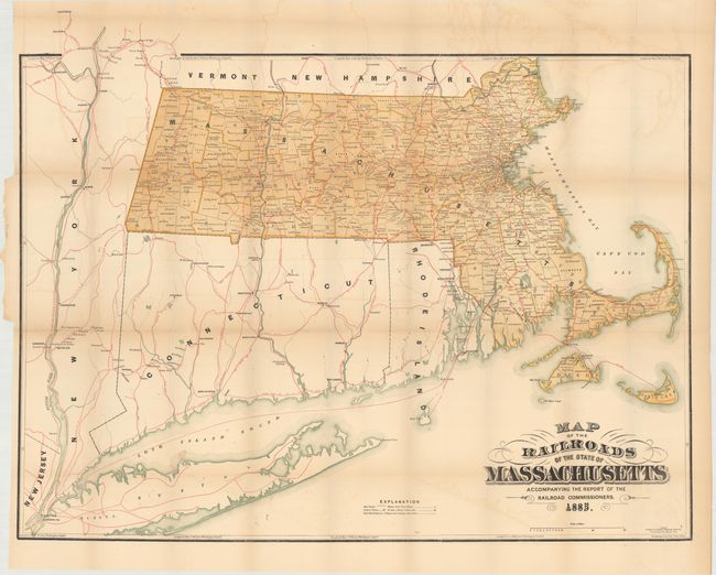
Subject: Massachusetts

Period: 1885 (dated)

Publication:

Color: Printed Color

Size:
34 x 26.8 inches
86.4 x 68.1 cm
Download High Resolution Image
(or just click on image to launch the Zoom viewer)

A nice railroad map of the state extending to include Connecticut, Rhode Island, and portions of New Jersey, New York, Vermont, and New Hampshire. Numerous railroads are named and depicted in red overprinting, with ferry lines (dotted lines) connecting Nantucket and Dukes Island to the mainland. Other details include post offices, money order post offices, and railroad stations. Issued to accompany the Report of the Railroad Commissioners for 1885. Printed by Wright & Potter in Boston.

References:

Condition: B

Issued folding with light toning and faint color offsetting. There are several short fold separations primarily along the upper horizontal fold line.

Estimate: $120 - $150

Sold for: $90

Closed on 2/6/2019

Archived