Subject: Montana, Wyoming & Yellowstone
Period: 1872 (published)
Publication:
Color: Black & White
Size:
5.8 x 9.1 inches
14.7 x 23.1 cm
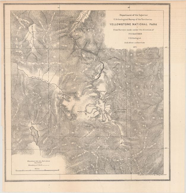
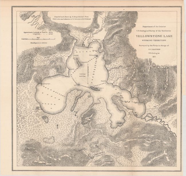
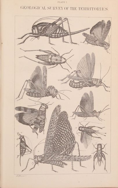
Hayden, an American geologist, led the first federally-funded geological survey of Montana, Wyoming, and the Yellowstone region in 1871. The following year he published his findings in this report, which was presented to Congress and was instrumental in convincing Congress to establish Yellowstone as the first National Park in the United States. The report includes 5 folding maps, 2 plates of insects, and numerous in-text illustrations of geysers, geological formations, and much more. The maps included are:
A. Yellowstone National Park (11.2 x 11.9")
B. Yellowstone Lake Wyoming Territory (14.8 x 14.5")
C. Lower Geyser Basin Fire Hole River Wyoming Territory (10 x 11.1")
D. Upper Geyser Basin Fire Hole River Wyoming Territory (11.5 x 9.2")
E. White Mountain Hot Springs, Gardiner's River (6.7 x 7.2")
Octavo, 538 pp. Hardbound in original brown cloth with embossed titling on spine.
References:
Condition: A
Maps and text are in excellent condition with a hint of toning. Two of the maps are detached from the binding. The title pages and front endpapers are lightly soiled. The covers show very minor wear.