Subject: United States, Franklin
Period: 1817 (published)
Publication:
Color: Black & White
Size:
10.4 x 6.3 inches
26.4 x 16 cm
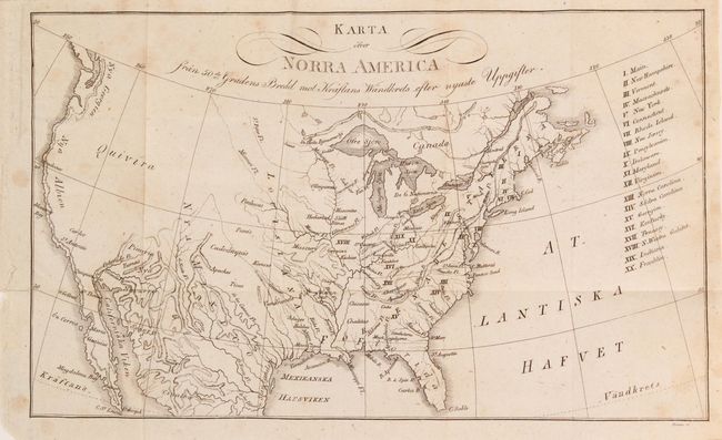
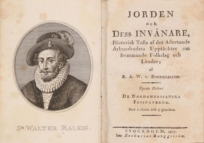
This small map was published in the Swedish edition of Zimmerman's Taschenbuch der Reisen, oder Unterhaltende Darstellung der Entdeckungen des 18ten Jahrhunderts. This was the fourth title in Zimmerman's annual compliations, and is devoted entirely to America. The map itself covers the entire present-day United States and lists twenty states in a table at right including the short-lived state of Franklin, which is erroneously identified in present-day Ohio. Topography and drainage is emphasized in this map with only a few place names west of the Missouri River including a large Quivira in the Great Basin and New Albion along the west coast.
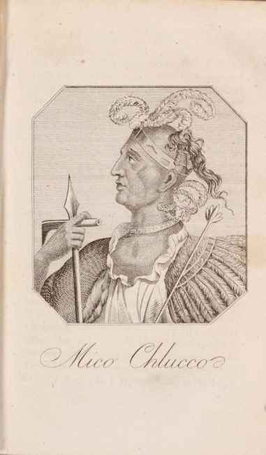
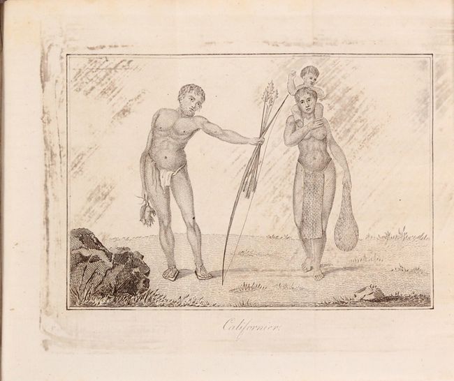
There are three additional plates in the volume including a frontispiece of Sir Walter Raleigh, Mico Chlucco, and a depiction of Californian natives. 426 pages. Hardbound in quarter leather over marbled boards with gilt title and tooling on spine.
References: cf. Dotson & Baker (Old World Auctions - State of Franklin Maps) #21.
Condition: B+
Map, plates, and text are all very good with occasional light scattered foxing. Binding is near fine with only minor wear.