Catalog Archive
Auction 170, Lot 619

"Terrae Yemen Maxima pars seu Imperii Imami, Principatus Kaukeban, nec non Ditionum Haschid u Bekil...", Niebuhr, Carsten

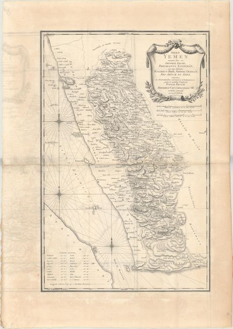
Subject: Yemen, Arabia

Period: 1787 (circa)

Publication:

Color: Black & White

Size:
14.6 x 22.4 inches
37.1 x 56.9 cm
Download High Resolution Image
(or just click on image to launch the Zoom viewer)

This detailed map of Yemen is based on the geographical observations of the Danish explorer Carsten Niebuhr and shows the eastern shore of the Red Sea just to the north of Dsjesan (Jizan). Numerous towns, cities, wadis, and topographical phenomena are shown. The Red Sea is filled with three compass roses and rhumb lines. In the lower left an index gives latitude and longitude for the major cities. At upper right is an elaborate title cartouche with three distance scales below.

References: Ankary, p. 403.

Condition: B

Issued folding on watermarked paper with moderate offsetting and light toning along the central fold and in the blank margins.

Estimate: $240 - $300

Sold for: $160

Closed on 11/14/2018

Archived