Catalog Archive
Auction 170, Lot 402

"A Map of South America with All the European Settlements & Whatever Else Is Remarkable from the Latest & Best Observations", Seale, Richard William

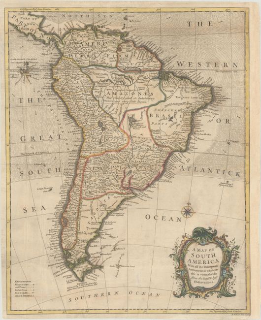
Subject: South America

Period: 1751 (circa)

Publication: Mr. Tindal's Continuation of Mr. Rapin's History of England...

Color: Hand Color

Size:
14.7 x 18.3 inches
37.3 x 46.5 cm
Download High Resolution Image
(or just click on image to launch the Zoom viewer)

Handsome map filled with names of European and Indian cities, forts, castles and gold and silver mines. The spurious Prime Lake sits near Guiana with the fanciful city of Manoa, o el Dorado located on its banks. The Amazon Basin is described by This Country and its Inhabitants are very little known, a note that is also applied to the fictional Iarajes or Xarayes Lake that forms the headwaters of the La Plata. The map is decorated with a lovely rococo cartouche and a compass rose.

References: Shirley (BL Atlases) G.RAP-2a #14.

Condition: B+

Issued folding, now flattened, on paper with a fleur-de-lis watermark. There is minor offsetting, light printer's ink residue, and a few faint stains. Professionally remargined at right with period-correct paper.

Estimate: $200 - $250

Sold for: $110

Closed on 11/14/2018

Archived