Catalog Archive
Auction 170, Lot 386

"Insulae Antillae Francicae Inferiores Commentariis Manuscriptis et Variis Navigantium Observationibus Descriptae...", Weigel, Christopher

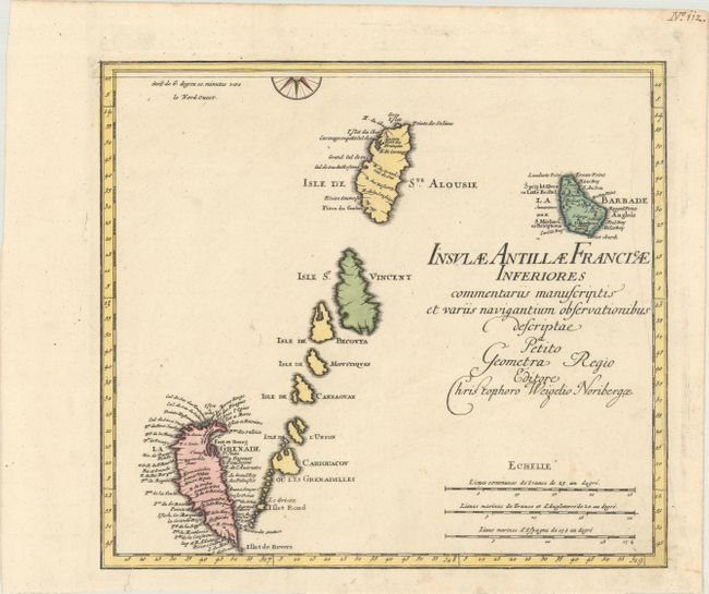
Subject: Windward Islands, Lesser Antilles

Period: 1718 (circa)

Publication:

Color: Hand Color

Size:
14.3 x 12.8 inches
36.3 x 32.5 cm
Download High Resolution Image
(or just click on image to launch the Zoom viewer)

This map depicts the Windward Islands from St. Lucia to Grenada, and extends east to include Barbados. Place names are confined to the islands of Barbados, St. Lucia, and Grenada. Interestingly, Grenada is depicted upside-down, with Fort George (Fort et Bourg) shown on the northeast end of the island. This is the southern sheet of a two-sheet map of the Lesser Antilles islands. Each map is complete with its own borders and title, but the compass rose is split between the two maps.

References:

Condition: A

Superb, dark impression with contemporary color on sturdy paper with a small coat of arms watermarked. There are a couple of minor spots and an archivally repaired tear that just touches neatline at bottom left corner. Old manuscript page number in the top right corner of the sheet.

Estimate: $275 - $350

Unsold

Closed on 11/14/2018

Archived