Catalog Archive
Auction 170, Lot 276

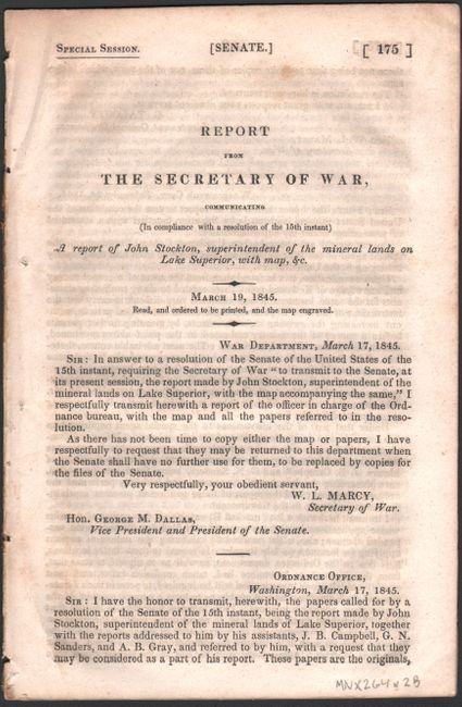
"Map of the Mineral Lands Upon Lake Superior Ceded to the United States Government by the Treaty of 1842 with the Chippeway Indians [with report]", U.S. Government

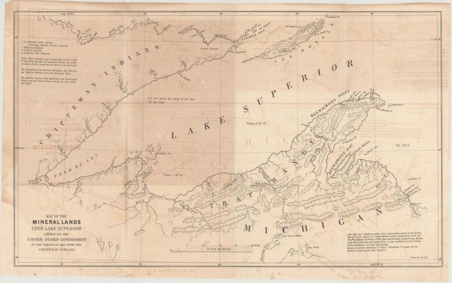
Subject: Upper Michigan, Wisconsin, Minnesota

Period: 1845 (published)

Publication: Senate - Special Session

Color: Black & White

Size:
18.3 x 10.9 inches
46.5 x 27.7 cm
Download High Resolution Image
(or just click on image to launch the Zoom viewer)

This map prominently depicts the Trap Range on the Upper Peninsula of Michigan. This copper-rich region was ceded by the Chippewa Indians per the Treaty of La Point, and a mining boom followed. A note at bottom states that it was compiled "partly from explorations made in 1844 by the Mineral Land Agency at Copper Harbor, under instructions from Hon W. Wilkins, Secretary of War." The map also locates Methodist missions, Catholic missions, and the American Fur company. Accompanied by the disbound 22-page report.

References:

Condition: B

The map has moderate text offsetting. Disbound text is very good with occasional foxing.

Estimate: $160 - $190

Sold for: $100

Closed on 11/14/2018

Archived