Catalog Archive
Auction 170, Lot 264

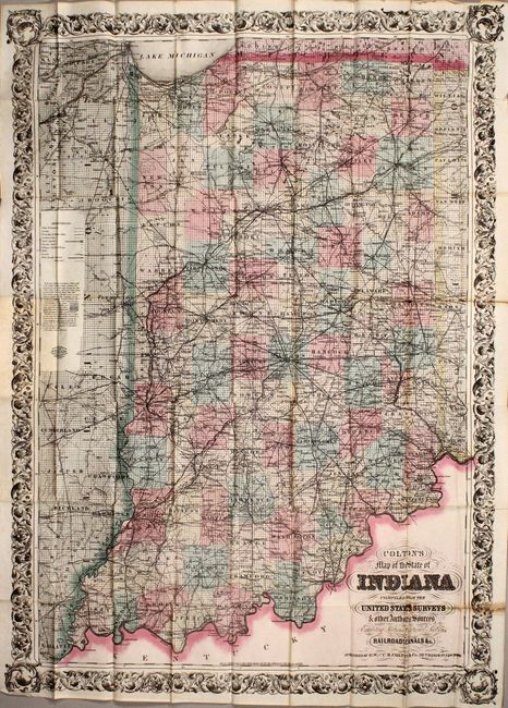
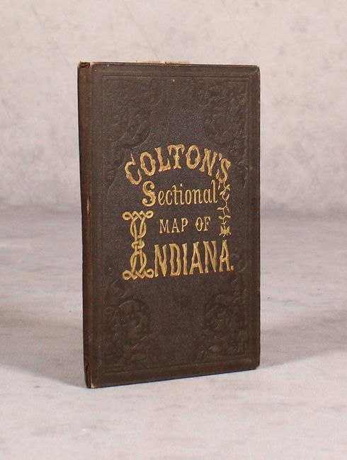
"Colton's Map of the State of Indiana Compiled from the United States Surveys & Other Authentic Sources...", Colton, G.W. & C.B.

Subject: Indiana

Period: 1875 (dated)

Publication:

Color: Hand Color

Size:
29.1 x 39.8 inches
73.9 x 101.1 cm
Download High Resolution Image
(or just click on image to launch the Zoom viewer)

This large, separately issued map is delineated by county and presents the familiar township pattern of the Public Land Survey System. It is densely packed with useful information including completed railroads, proposed railroads, wagon roads, mills, post offices, and more. In the sparsely populated region of northwest Indiana, descriptions of the land are provided including "Deep Marsh", "Timber Islands", and "Grass Marsh." Folds into brown cloth boards with gilt title on front cover.

References:

Condition: B+

Issued folding with several small splits at the fold intersections with a bit of loss along the right fold. There is minor toning along two folds. Covers have light wear with a few cracks in the spine.

Estimate: $150 - $180

Sold for: $110

Closed on 11/14/2018

Archived