Subject: Eastern United States & Canada, Geology
Period: 1876 (published)
Publication:
Color: Black & White
Size:
23.7 x 15.6 inches
60.2 x 39.6 cm
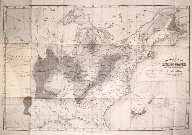
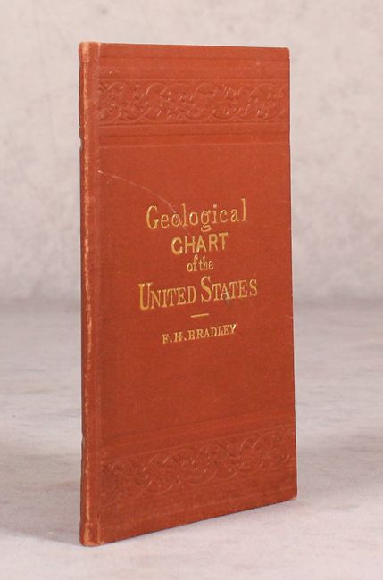
This rare, separately issued map was compiled by Frank Bradley and extends west to to include eastern Colorado and New Mexico, and western Dakota Territory. The map includes a key with 11 different geological types identified by different shading patterns, and an inset at lower right extends to show the Canadian Maritimes. Intended for the student, the map was issued uncolored and could be colored "when desired" using a coloring scheme suggested by the author (on the inside front cover) or at the discretion of the owner. Folds into copper colored cloth covers with gilt title on front cover.
Bradley served as geologist on one of Hayden's early expeditions to Yellowstone National Park and later as professor at East Tennessee University.
References: Marcou & Marcou #75.
Condition: B+
Issued folding with light scattered foxing. Covers have minor wear.