Catalog Archive
Auction 170, Lot 119

"[Lot of 2] Ober- (Upper-) Canada [and] Neueste Karte von Lower Canada. (Unter-Canada)...", Hildburghausen Biblio Institut

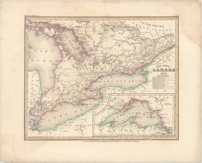
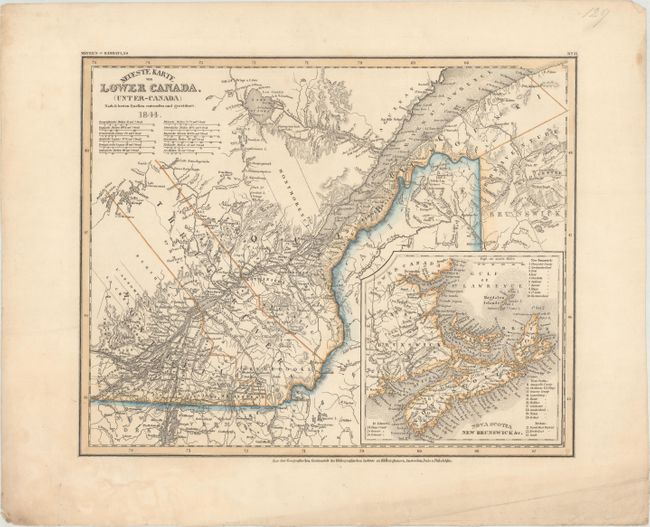
Subject: Eastern Canada, Great Lakes

Period: 1844-45 (dated)

Publication: Meyer's-Handatlas

Color: Hand Color

Size:
14.6 x 11.8 inches
37.1 x 30 cm
Download High Resolution Image
(or just click on image to launch the Zoom viewer)

This pair of maps follows the southern border of Canada from the mouth of the St. Lawrence River to Lakes Ontario, Erie, and Huron. The maps are based on the work of David William Smyth, Canada's first Surveyor General. There is excellent detail of towns, roads, political boundaries, rivers, lakes, and topography. Large insets depict and New Brunswick, Nova Scotia, and Lake Superior.

References:

Condition: B+

Original color with light soiling and several damps stains that are mostly confined to the blank margins.

Estimate: $100 - $130

Unsold

Closed on 11/14/2018

Archived