Subject: References
Period: 1987-93 (published)
Publication:
Color: Printed Color
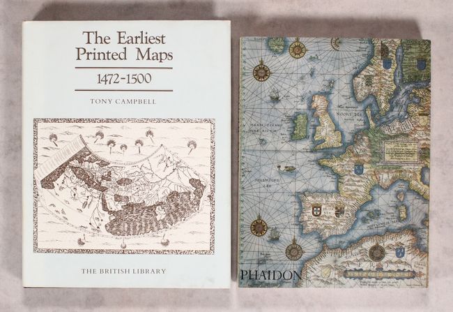
A. The Earliest Printed Maps 1472-1500, by Tony Campbell, published 1987 (8.3 x 10.5"). This interesting reference focuses on the 222 maps known or believed to be printed prior to 1501, presenting a thorough history on map-making in the West. It features 69 black and white plates and one in full color at the front. 244 pages with a preface by Professor George Kish, a complete list of figures, an introduction, and various appendices, tables, and indexes. Hardbound in brown cloth with a gilt title on the spine and an illustrated dust jacket. Condition: Contents tight. Light soiling and minor wear on the dust jacket. (A)
B. Antique Maps, by Carl Moreland and David Bannister, published 1993 (7.5 x 9.8"). This is the first paperback edition of this invaluable reference that covers map-making, cartographers, and collecting. The book lays out the history of map-making methods from the late 15th century onward. Brief biographies of the major map-makers are included. It also provides advice for the collector on the practical aspects of collecting and care. Illustrations in B&W (168) and color (8) in 326 pages, including bibliography and index. Illustrated paperback covers. Condition: Text very good with a damp stain on the first page and a touch of soiling on the last page. Covers have minor shelf wear. (B+)
References:
Condition:
See description above.