Subject: References
Period: 1984 (published)
Publication:
Color: Printed Color
Size:
16.5 x 12.5 inches
41.9 x 31.8 cm
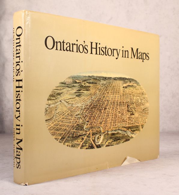
Compiled by R. Louis Gentilcore and C. Grant Head, this is a major reference for the historical cartography and geography of this region. It is illustrated with nearly 300 maps, half in full color, and includes a cartobibliographical essay by Joan Winearls. The text and maps trace the development of the province from early European manuscripts through the 20th century highway and forest maps. The Ontario Historical Studies Series, University of Toronto Press. 284 pp. Hardbound in blue cloth with silver titles on front cover and spine and an illustrated dust jacket.
References:
Condition: A
Text is very good with faint scattered foxing confined to the far sheet edges. Covers have minor wear and soiling. There are short edge tears and some sunning on the dust jacket.