Subject: Atlases
Period: 1862 (circa)
Publication:
Color: Hand Color
Size:
13.1 x 19.5 inches
33.3 x 49.5 cm
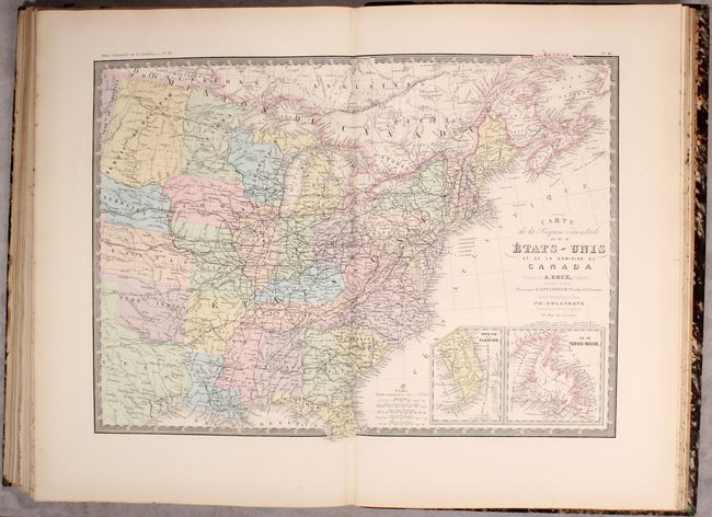
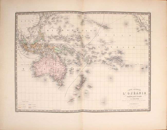
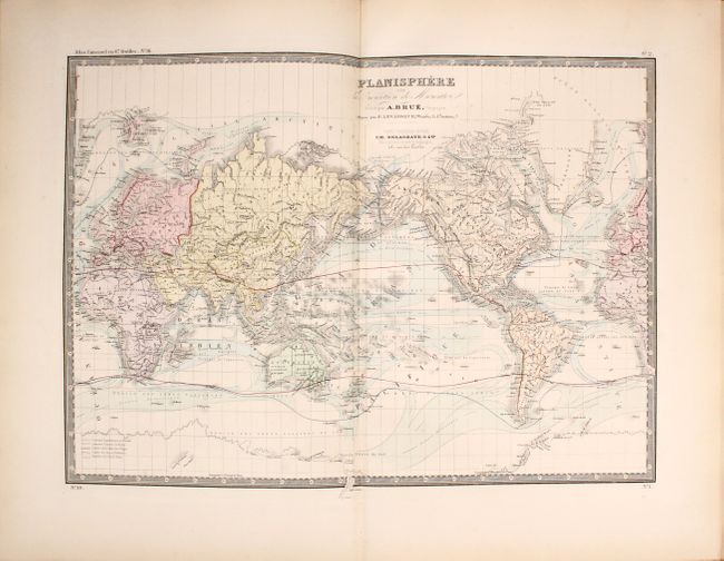
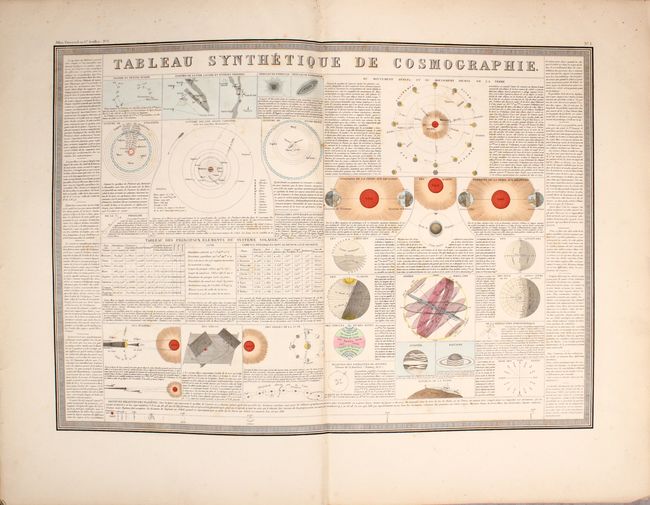
This complete atlas contains 67 maps of both the ancient and modern world. The contents include 1 celestial chart, 14 of the ancient world, and 52 of the modern world. The maps of the modern world break out as follows: World (3), Europe (23), Asia (5), Pacific (4), Africa (8) and Americas (9). Included in this count is a large folding map of France. All of the maps have Brue's decorative keyboard-style border. Circa date is based upon Virginia's borders still including present-day West Virginia (established 1863) coupled with the new Dakota Territory (established 1861).
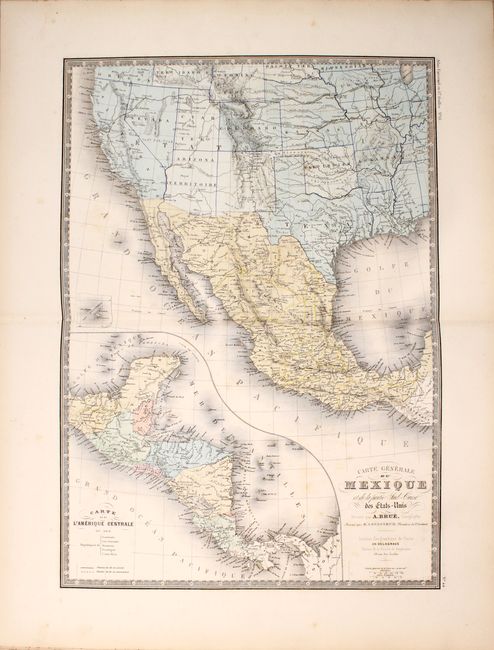
The map titled Carte Generale du Mexique et de la Partie Sud-Ouest des Etats-Unis covers the southwestern United States from California to the Mississippi River and Mexico with a large inset map of Central America. The developed railway tracks and those under construction are shown. Other maps depicting the United States include Carte Generale de L’Amerique and Carte de la Region Orientale des Etats-Unis....
Title page and 67 maps. Elephant Folio. Quarter brown leather over marbled boards with gilt titling on spine.
References:
Condition: B+
The maps are generally very good to fine with occasional scattered foxing. The large folding map of France is fair (C+) with an 8" edge tear at left that has been repaired on verso with non-archival tape along with numerous fold separations. The binding is a little loose with the first few sheets starting to separate. Covers and spine are moderately worn.