Catalog Archive
Auction 169, Lot 741
"Guinee, Grand Pays de l'Afrique, avec Toutes ses Cotes, Havres et Rivieres, Suivant les Memoires les Plus Recens des Voyageurs...", Aa, Pieter van der
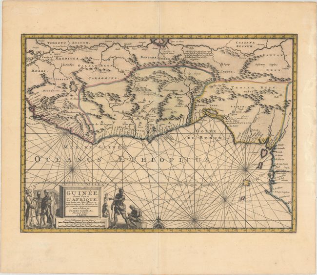
Subject: Western Africa
Period: 1729 (circa)
Publication: La Galerie Agreable du Monde...
Color: Hand Color
Size:
14.4 x 10.4 inches
36.6 x 26.4 cm
Download High Resolution Image
(or just click on image to launch the Zoom viewer)
(or just click on image to launch the Zoom viewer)