Catalog Archive
Auction 169, Lot 626

"Novissima et Accuratissima Regnorum et Insularum Siciliae, et Sardiniae Hydro-Geographica Exhibitio...", Homann Heirs

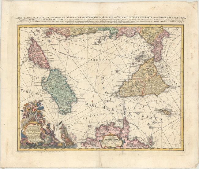
Subject: Corsica, Sardinia & Sicily

Period: 1762 (dated)

Publication:

Color: Hand Color

Size:
22.4 x 17.1 inches
56.9 x 43.4 cm
Download High Resolution Image
(or just click on image to launch the Zoom viewer)

A handsome map of the western Mediterranean including the islands of Corsica, Sardinia, Sicily, and Malta. The map extends to include northern Africa and the western coast of Italy past Rome. The map is filled with towns, fortified towns, forests, and mountains, while a smoking Mount Aetna is prominently depicted on Sicily. The highly decorative title cartouche features a battling ship, soldier, and coats of arms for Sicily, Sardinia, and Malta held aloft by cherubs. An additional title is located above the map.

References: Phillips (Atlases) #3499-17.

Condition: B+

On watermarked paper with light scattered foxing and faint dampstains adjacent to the centerfold.

Estimate: $475 - $600

Sold for: $325

Closed on 9/12/2018

Archived