Catalog Archive
Auction 169, Lot 596

"Nova & Accurata Tusciae Antiquae Descriptio Autore Ab. Ortelio", Jansson, Jan

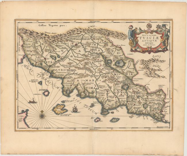
Subject: Central Italy

Period: 1657 (published)

Publication: Accuratissima Orbis Antiqui Delineatio…

Color: Hand Color

Size:
19.2 x 13.5 inches
48.8 x 34.3 cm
Download High Resolution Image
(or just click on image to launch the Zoom viewer)

Pieter Van Den Keere (Petrus Kaerius) engraved this attractive map of ancient Tuscany. It is based on Ortelius’ map that was in turn based on Bellarmati's map supplemented by classical sources. The map is very detailed and includes the coastal islands. It locates the major Etruscan and Roman settlements and the Roman roads. The map is embellished with surveyors flanking the title cartouche, a compass rose, and sailing ships.

References:

Condition: A

A sharp impression with attractive color. There is a short centerfold separation confined to the bottom blank margin that has been closed on verso with archival tape.

Estimate: $550 - $700

Sold for: $325

Closed on 9/12/2018

Archived