Catalog Archive
Auction 169, Lot 592

"Carte du Piemont et du Monferrat...", Delisle, Guillaume

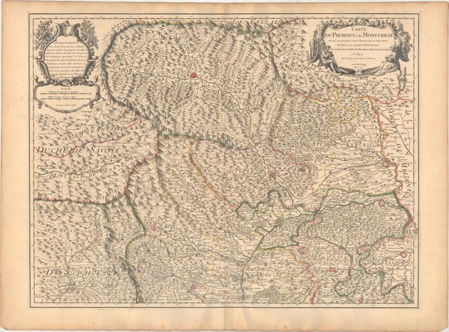
Subject: Northwestern Italy

Period: 1707 (dated)

Publication:

Color: Hand Color

Size:
25 x 18.9 inches
63.5 x 48 cm
Download High Resolution Image
(or just click on image to launch the Zoom viewer)

Detailed map of northwestern Italy with Turin at bottom center. Fully engraved with mountains, rivers, fortifications, political boundaries, and hundreds of place names. It also depicts the roads, and most notably the "Grande Route des Romains." Two lovely cartouches embellish the map.

References:

Condition: A

A nice impression with original outline color on watermarked paper. There is minor soiling and light toning along the edges of the sheet.

Estimate: $200 - $230

Sold for: $170

Closed on 9/12/2018

Archived