Catalog Archive
Auction 169, Lot 568

"Hongrie, Turquie Europ?", Robert de Vaugondy, Didier

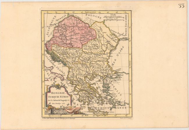
Subject: Balkans, Hungary

Period: 1762 (dated)

Publication: Nouvel Atlas Portatif

Color: Hand Color

Size:
8 x 9.4 inches
20.3 x 23.9 cm
Download High Resolution Image
(or just click on image to launch the Zoom viewer)

This map of the Balkans extends north to include Hungary, Romania and Moldavia, and south to Greece and Crete. The map is filled with information on political boundaries, river systems, and key cities. The map was engraved by E. Dussy and the cartouche by Arrivet. This is the first state.

References: Pedley #368.

Condition: A

A crisp impression with original color in the map and later color in the cartouche on paper with a Strasbourg Lily watermark. There are several worm holes confined to the far blank margins.

Estimate: $110 - $140

Sold for: $55

Closed on 9/12/2018

Archived