Subject: Long Island, New York
Period: 1903-29 (circa)
Publication:
Color: Printed Color
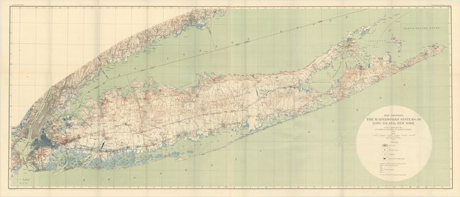
A. Map Showing the Waterworks Systems of Long Island, New York, by U.S. Geological Survey, dated 1903 (61.7 x 25.5"). Joined on two sheets, this excellent topographical map of Long Island is filled with additional details related to the water system. A legend identifies water mains, pumping stations, standpipes, and reservoirs. Ownership of the infrastructure is color-coded, with the city of New York's systems highlighted in blue. The colorful map was compiled on a scale of 1 inch = 2 miles and contour intervals at 20 feet. It includes the continental coastline to beyond Bridgeport, Connecticut. This is Plate XIX from Professional Paper No. 44, and printed by the Julius Bien firm of New York. Condition: Clean and bright with a bit of offsetting at bottom and a few extraneous creases. Issued folding.
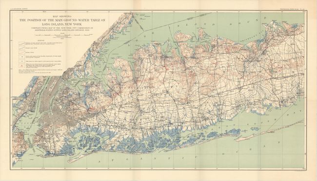
B. Map Showing the Position of the Main Ground-Water Table on Long Island, New York..., by U.S. Geological Survey, dated 1903 (30.4 x 16.5"). This is Plate XII from the same professional paper as above and covers western Long Island. The highly detailed map shows the contours of the water table along with various wells. Compiled from an earlier map by the New York City Commission on Water Supply. Condition: Near fine, issued folding.
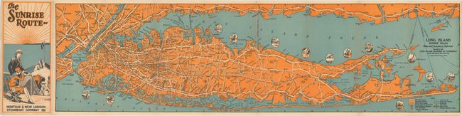
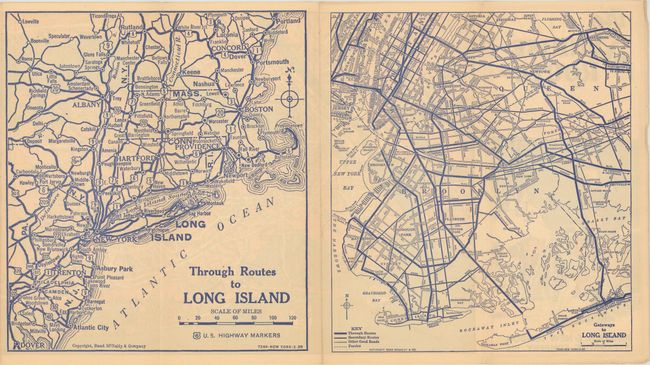
C. Long Island Sunrise Trails Main and Secondary Highways, by Rand McNally & Company, circa 1929 (31.6 x 8.5"). This self-folding promotional brochure depicts all of Long Island and extends to include Manhattan, Staten Island, and portions of New Jersey. A key identifies through routes, secondary routes, and "other good roads." The verso contains a regional map of the Northeast, and a detailed map of western Long Island. Issued by the Long Island Chamber of Commerce. Condition: A clean, bright example.
References:
Condition: A
See description above.