Catalog Archive
Auction 169, Lot 210

"Map of the States of Missouri and Illinois", Hinton, Simpkin & Marshall

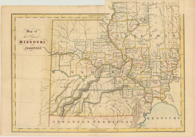
Subject: Illinois & Missouri

Period: 1832 (dated)

Publication: An Atlas of the United States of North America

Color: Hand Color

Size:
14.3 x 10.9 inches
36.3 x 27.7 cm
Download High Resolution Image
(or just click on image to launch the Zoom viewer)

This early county map of Missouri and Illinois shows interesting county configurations. There are large areas of Indian territories in southwest Missouri, including the Shawnees, Delawares and Kickapoos. Northern Missouri consists of Bounty Lands. Illinois is only shown as far north as Mercer County, and there are large, undeveloped counties in the north, such as Fayette, Edgar, Clark, and Peoria. Development is mostly confined to the major rivers, with a number of early roads and cities shown. Engraved and printed by Fenner Sears & Co.

References:

Condition: A

Issued folding with a hint of toning.

Estimate: $200 - $230

Sold for: $100

Closed on 9/12/2018

Archived