Subject: St. Lawrence River, Canada
Period: 1755-84 (circa)
Publication:
Color:
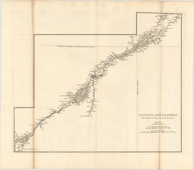
A. Le Fleuve Saint-Laurent Represente Plus en Detail que dans l'Etendue de la Carte, by Jean Baptiste Bourguignon d'Anville, circa 1755, black & white (22.1 x 18.2"). This detailed map of the St. Lawrence River was designed as an inset map for D'Anville's Canada Louisiane et Terres Angloises. It was also published with a 24-page pamphlet entitled "Memoire sur la carte intitulee: Canada, Louisiane, & Terres Angloises." The map includes superb detail of the river from Lake Ontario to Isle aux Coudres, including the Rivier de Richelieu. Reference: Kershaw #625. Condition: Printed on heavy watermarked paper with toning on two folds. (B)
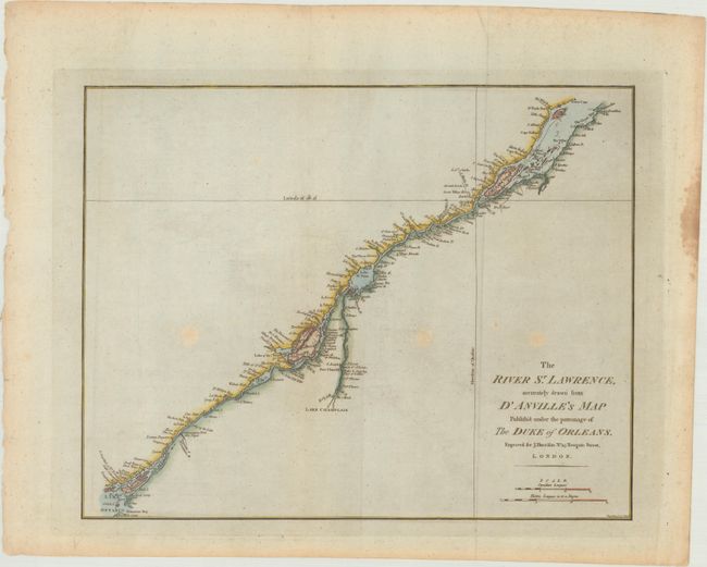
B. The River St. Lawrence, Accurately Drawn from D'Anville's Map Publish'd Under the Patronage of the Duke of Orleans, by John Harrison, from Atlas to Accompany Rapin's History of England, circa 1784, hand color (16.6 x 13.1"). A detailed map of the course of the seaway from Lake Ontario to Point Kamouraska at the mouth of the river. The map locates channels, islands, shoals, waterfalls, rocks and rapids in the river, as well as detail of the towns, forts and place names in the river valley. This depiction was drawn from an inset in D'Anville's large, four-sheet map. References: Kershaw #681; Phillips (A) #5206-20; Sellers & Van Ee #251. Condition: There are three light spots in unengraved areas of the map, and minor staining along the right sheet edge. (B+)
References:
Condition:
See description above.