Catalog Archive
Auction 169, Lot 101

"A General Map of North America from the Best Authorities", McIntyre, A.

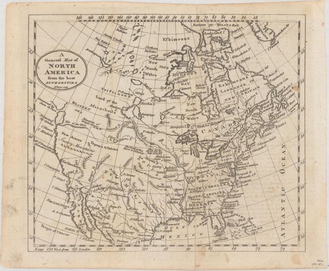
Subject: North America

Period: 1795 (circa)

Publication:

Color: Black & White

Size:
8.7 x 7.4 inches
22.1 x 18.8 cm
Download High Resolution Image
(or just click on image to launch the Zoom viewer)

This small map of North America shows the young United States confined to east of the Mississippi River with Louisiana and New Mexico to its west. The Missouri River is partially drawn with a note stating "The Head of this River is Unknown." The northwest portion of the continent is blank, with a "Western Sea" and River of the West suggesting a possible Northwest Passage via a network of rivers and lakes. The west coast is labeled New Albion with several explorer notations along the coast.

References:

Condition: B+

Issued folding with a few minor spots and faint offsetting at right from an opposing page of text.

Estimate: $140 - $170

Sold for: $100

Closed on 9/12/2018

Archived