Subject: Atlases
Period: 1882 (published)
Publication:
Color: Printed Color
Size:
14.9 x 19.9 inches
37.8 x 50.5 cm
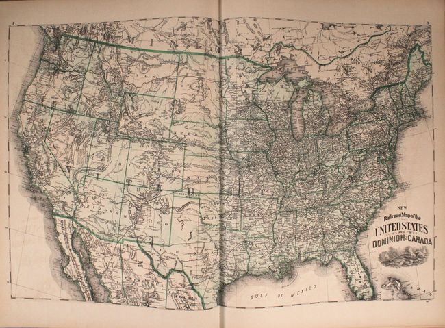
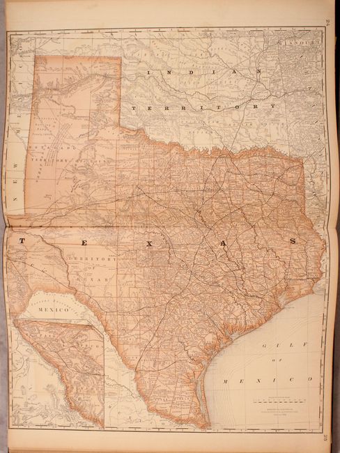
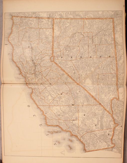
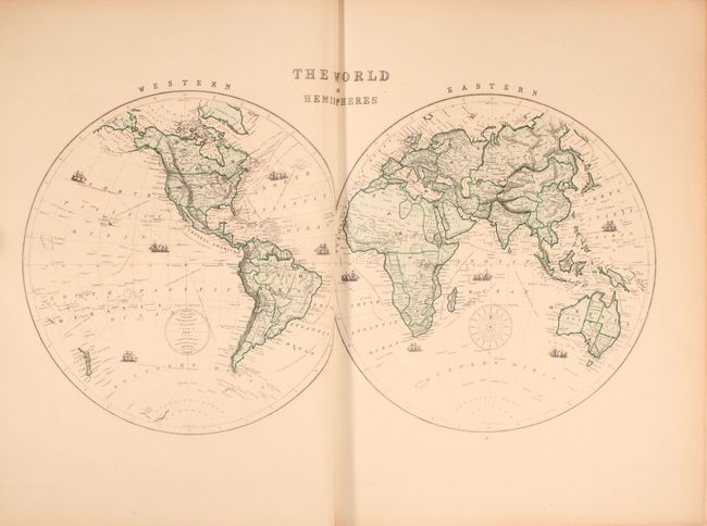
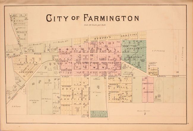
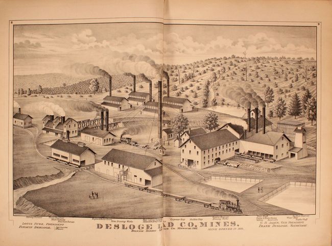
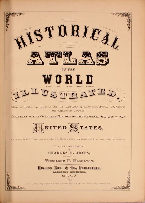
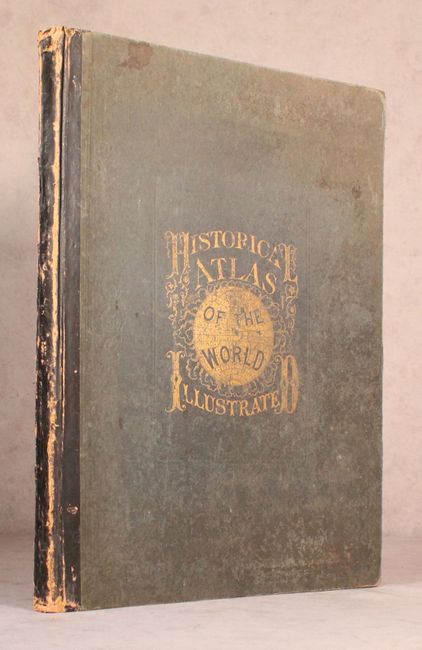
This attractive atlas contains a total of 15 double-page and 39 single-page maps (some single-page sheets have two maps) by Rand McNally. More than half of the atlas is dedicated to North America. This example features the Railroad Map of the United States and Dominion of Canada and attractive double-page maps of Texas and California. Includes 88 pages of explanatory text. Inserted at the front of the volume is an 18 page supplement for St. Francois County, Missouri including a single-page map of the City of Farmington, and several full page illustrations promoting the lead mines and granite quarries in the region. The atlas is completed by attractive steel engravings of Yellowstone, Yosemite, New York, and more. Hardbound in original quarter calf over green cloth boards with gilt title on the front cover. Published by Higgins Brothers & Company in Chicago.
References:
Condition: B+
The maps are very good with light toning and occasional color offsetting. Both hinges are starting to separate. The covers and spine are moderately worn and stained.