Subject: Atlases
Period: 1881 (published)
Publication:
Color: Hand Color
Size:
15.1 x 17.8 inches
38.4 x 45.2 cm
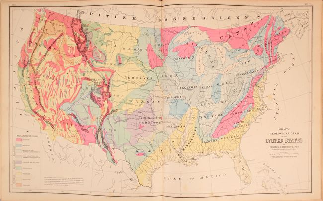
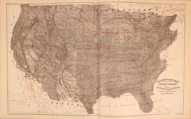
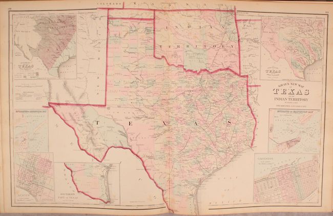
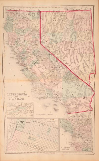
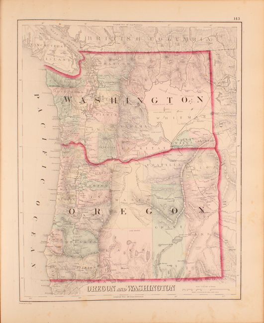
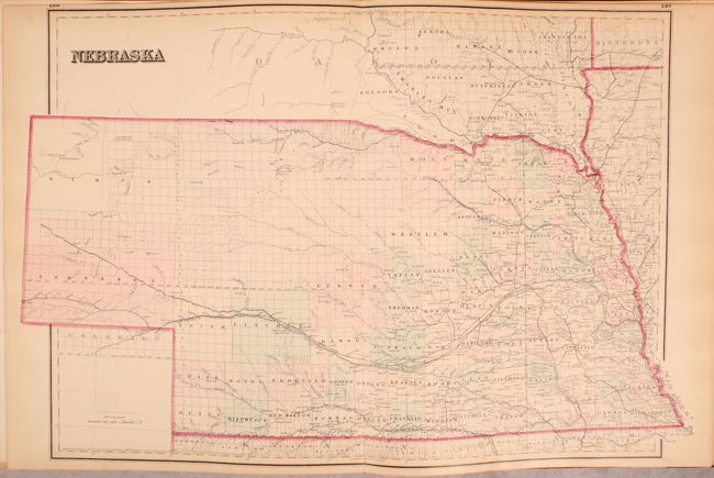
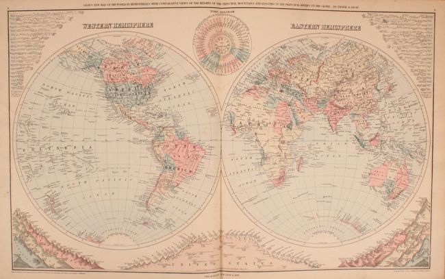
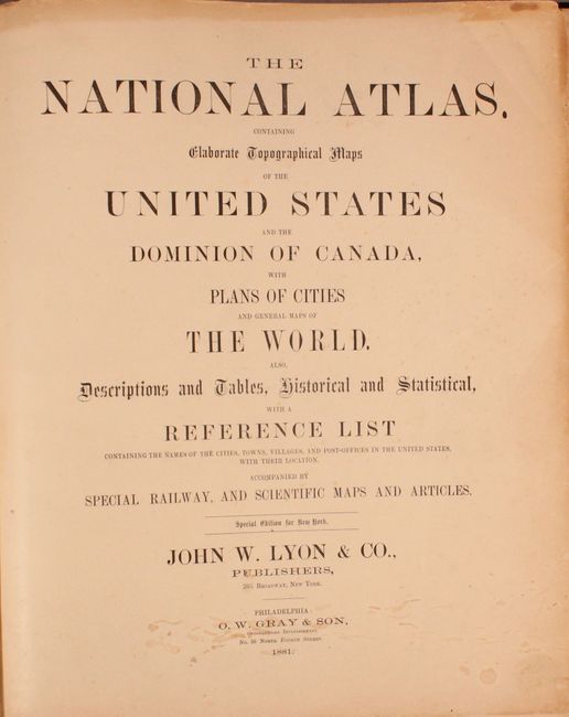
This complete atlas contains 37 single and 34 double-page maps focused mostly on the United States. The maps are hand colored which is quite unusual for this late publication date. The atlas includes the very attractive and colorful Gray’s Geological Map of the United States based upon Hitchcock that depicts nine different geologic formations. The double-page map of Texas and the Indian Territory reflects the state's rapid growth as evidenced by the newly formed counties in the former huge panhandle section of Young Territory. Several railroads abruptly end between cities as the map indicates the exact progress to date. Seven large insets include city plans for Austin and Galveston, the Entrance to Galveston Bay, and the River Systems. The atlas also contains attractive double-page maps of California/Nevada, Nebraska, and single-page maps of Oregon/Washington, and Arizona/NewMexico among many others.
Rebound in faux quarter leather and tips over original cloth boards with gilt title on front cover.
References:
Condition: B+
The maps are generally very good with light scattered foxing and an occasional edge tear at bottom that has been closed on verso with archival tape. Rebound with faux leather spine and tips and original boards, which are moderately worn and stained.