Subject: London, England
Period: 1880 (circa)
Publication:
Color: Hand Color
Size:
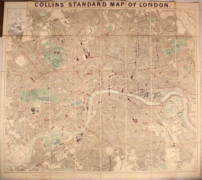
33.5 x 28.6 inches
85.1 x 72.6 cm
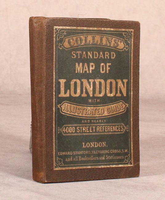
This detailed folding map, intended for the tourist, extends from Holloway south to West Brixton, and from Lime House west to Notting Hill. It is densely packed with information including buildings, parks, roads, docks, and more. Postal boundaries are indicated in pink outline color, and both existing and proposed railroads are identified. The map was first issued by Henry Collins in the 1850s and published here by Edward Stanford, who bought the rights to this map when Collins' business went bankrupt. Dissected and backed with original linen and folds into stiff brown boards with paper title label on the front cover. The illustrated guide (text pages) is not present.
References:
Condition: B+
There is just a hint of toning and a few faint spots. Covers have light wear.