Catalog Archive
Auction 168, Lot 409
"Mapa de la Isla de La Palma [on sheet with] Mapa de la Isla de la Gomera", Lopez de Vargas Machuca, Thomas (don)
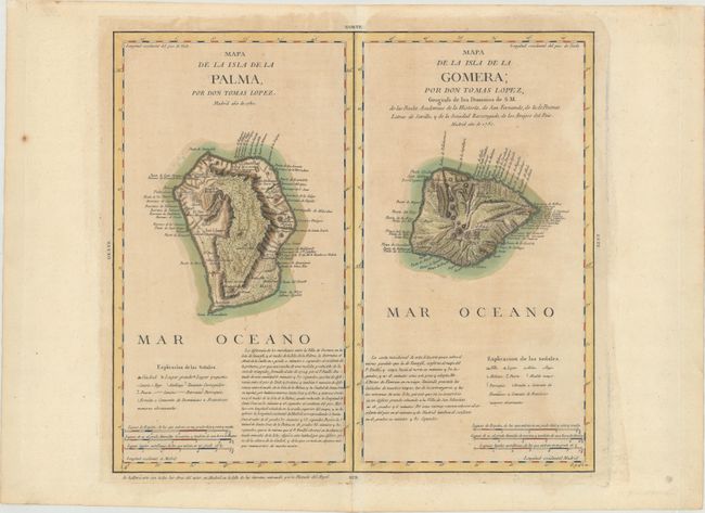
Subject: La Palma & La Gomera, Canary Islands
Period: 1780 (dated)
Publication:
Color: Hand Color
Size:
15.4 x 14.1 inches
39.1 x 35.8 cm
Download High Resolution Image
(or just click on image to launch the Zoom viewer)
(or just click on image to launch the Zoom viewer)